geo.wikisort.org - Island
Sir Abu Nuʽayr (Arabic: صِيْر أَبُو نُعَيْر, romanized: Ṣīr Abū Nuʽayr), Sir Bu Nuʽayr (Arabic: صِيْر بُو نُعَيْر, romanized: Ṣīr Bū Nuʿayr), or Sir al Qawasim (Arabic: صِيْر ٱلْقَوَاسِم, romanized: Ṣīr Al-Qawāsim; also romanized as Sir Abu Neir, Sir Bu Nair or Sir Bu Nuair) is an island in the Persian Gulf.
Native name: صِيْر أَبُو نُعَيْر Nickname: Sir Bu Nuʽayr (صِيْر بُو نُعَيْر) Sir Al Qawasim (صِيْر ٱلْقَوَاسِم | |
|---|---|
 ISS image | |
 Sir Abu Nuʽayr Sir Abu Nuʽayr (United Arab Emirates) | |
| Geography | |
| Location | Persian Gulf |
| Coordinates | 25°13′54″N 54°13′20″E |
| Area | 13 km2 (5.0 sq mi)[1] |
| Length | 4.25 km (2.641 mi)[1] |
| Width | 4 km (2.5 mi)[1] |
| Highest elevation | 81 m (266 ft)[1] |
| Administration | |
| Emirate | Sharjah |
Ramsar Wetland | |
| Official name | Sir Bu Nair Island Protected Area |
| Designated | 2 December 2013 |
| Reference no. | 2191[2] |
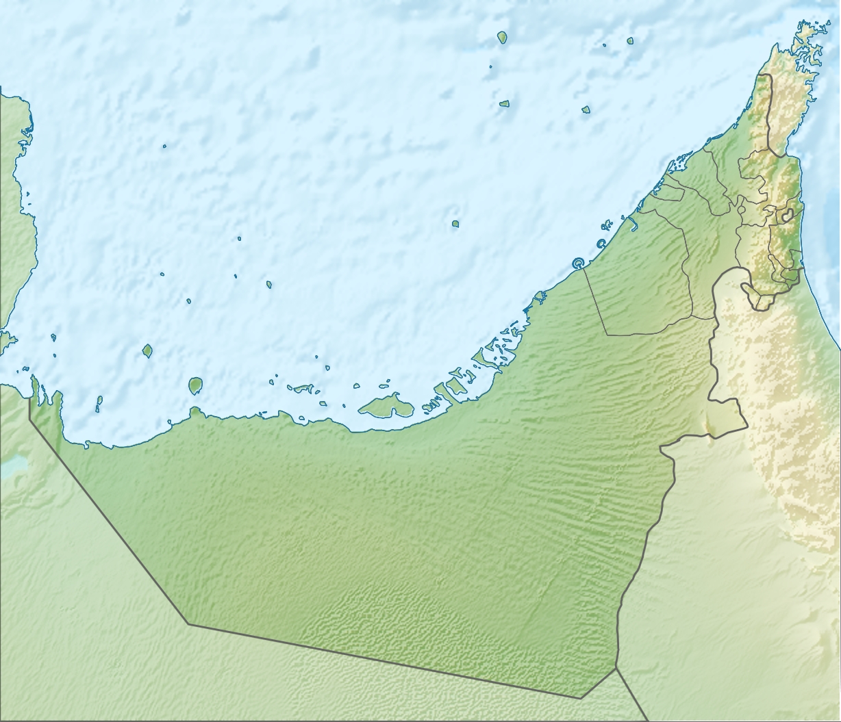
Lying 65 kilometres (40 mi)[3] off the coast of the Emirate of Abu Dhabi, roughly 80 kilometres (50 mi) north of Abu Dhabi city, and 103 kilometres (64 mi) west of Dubai, it belongs to the Emirate of Sharjah.[4][5][6]
Geography and description
The island is almost perfectly round with a diameter of 4 kilometres (2.5 miles), and a 1 kilometre (0.62 miles) long extension at its southeast end, making the shape of the whole island appear as a drop.[7]
The island is a salt-piercement structure formed by the movement of late Neoproterozoic to Early Cambrian Hormuz Formation salt. The salt has moved progressively upward, puncturing through the younger overlying strata to create a salt dome structure. Surface expressions are composed of evaporites rocks, plus igneous rocks and quartzitic sandstone.
The island, an environmentally protected area under the Sharjah Environment and Protected Areas Authority (EPAA),[8][9] has been registered on the list of wetlands of international importance under the Ramsar Convention,[10][11] and was in 2012 listed as a potential UNESCO World Heritage Site.[12]
Economy
Sharjah has a small harbour and an airfield (ICAO: OMSN),[13] both located at the island's southeast end.
Crescent Petroleum is the concession holder of the area.[14] The acreage is flanked to the north-northeast by Dubai's Fateh Oil Field complex, to the north by the Sirri Island oil field of Iran, and to the west by the prolific oil and gas fields of Abu Dhabi.
See also
- Zirku Island
- Al Marmoom Desert Conservation Reserve, Dubai
- Al-Wathba Wetland Reserve, Abu Dhabi
- Dubai Desert Conservation Reserve
- Jebel Hafeet National Park, Abu Dhabi
- Mangrove National Park, Abu Dhabi
- Ras Al Khor, Dubai
- Sir Bani Yas, Abu Dhabi
- Wadi Wurayah, Fujairah
- Wildlife of the United Arab Emirates
References
- "Sharjah plans five-star hotel on Bu Nuair island". GulfNews.com. 2013-05-07. Retrieved 2014-01-24.
- "Sir Bu Nair Island Protected Area". Ramsar Sites Information Service. Retrieved 25 April 2018.
- "Mega Projects That will Shape Emirates Future". MoneyShow.com. 2013-10-09. Retrieved 2014-01-24.
- Peter Hellyer; Simon Aspinall; Environment Agency Abu Dhabi (January 2005). The Emirates: a natural history. Trident Press. ISBN 978-1-905486-02-1.
- Oxford Business Group (2008). The Report: Sharjah 2008. Oxford Business Group. pp. 10–. ISBN 978-1-902339-02-3.
- "Welcome to". Buzzdubai.com. Retrieved 2014-01-24.
- "Wildlife paradise on Sir Bu Nair island | The National". Thenational.ae. 2011-05-23. Retrieved 2014-01-24.
- "Business - Shurooq unveils Sir Bu Nuair Island project". Khaleejtimes.com. 2013-05-08. Retrieved 2014-01-24.
- Zabara, Manar (2001-04-05). "Oil slick threatens protected island near Sharjah | GulfNews.com". M.gulfnews.com. Retrieved 2014-01-24.
- "Sir Bu Nuair Island registered as international wetland". GulfNews.com. 2013-12-20. Retrieved 2014-01-24.
- "Sharjah's Sir Bu Nair Island added to global list of protected areas | The National". Thenational.ae. 2013-12-18. Retrieved 2014-01-24.
- UNESCO World Heritage Centre (2012-01-30). "Sir Bu Nair Island - UNESCO World Heritage Centre". Whc.unesco.org. Retrieved 2014-01-24.
- "Airport codes Sir Abu Nair, United Arab Emirates (AE) | ICAO, IATA codes, location of airports of Airport codes Sir Abu Nair, United Arab Emirates (AE) | latitude, longitude airports of Airport codes Sir Abu Nair, United Arab Emirates (AE) | coordinates of airports of Airport codes Sir Abu Nair, United Arab Emirates (AE) | International codes and coordinates of all airports in the world | International codes and coordinates of all airports in Airport codes Sir Abu Nair, United Arab Emirates (AE)". Airportsbase.org. Retrieved 2014-01-24.
- "Sir Abu Nu'ayr Concession | Select Projects | Crescent Petroleum". Crescent.ae. Archived from the original on 2014-02-28. Retrieved 2014-01-24.
На других языках
[de] Sir Abu Nuʿair
Sir Abu Nuʿair (arabisch أبو صير نعير, DMG Abū Ṣīr Nuʿair) ist eine Insel im östlichen persischen Golf. Sie gehört zum Emirat Schardscha der Vereinigten Arabischen Emirate und bildet dessen westlichste Landmasse. Sie liegt etwa 80 km nördlich von Abu Dhabi und etwa 104 km südwestlich von Abu Musa. Die Insel mit ihrem annähernd (bis auf die südöstliche Landspitze) kreisrunden Grundriss hat einen Durchmesser von 4 km und ist 14,34 km² groß.[1]- [en] Sir Abu Nu'ayr
[fr] Sir Abu Nu’ayr
Sir Abu Nu’ayr est une île des Émirats arabes unis dans le golfe Persique, situé à environ 80 kilomètres au large de Abou Dabi et 110 kilomètres au large de Dubaï.[ru] Сир-Абу-Нуайр
Сир-Абу-Нуайр (араб. صير أبو نعير&; также встречаются названия Сир-Абу-Неир, Сир-Бу-Наир, Сир-Бу-Нуаир и Сир-Аль-Куавасим) — остров в Персидском заливе. Лежит в 65 км[1] от побережья эмирата Абу-Даби, примерно в 80 км к северу от города Абу-Даби и 103 км к западу от Дубая. Принадлежит эмирату Шарджа[1][2][3][4].Другой контент может иметь иную лицензию. Перед использованием материалов сайта WikiSort.org внимательно изучите правила лицензирования конкретных элементов наполнения сайта.
WikiSort.org - проект по пересортировке и дополнению контента Википедии