geo.wikisort.org - Island
Randøy is an island in Hjelmeland municipality in Rogaland county, Norway. The 16.7-square-kilometre (6.4 sq mi) island lies just off the mainland between the Jøsenfjorden and the Årdalsfjorden. The large island of Ombo lies to the north and the island of Halsnøya lies to the west.
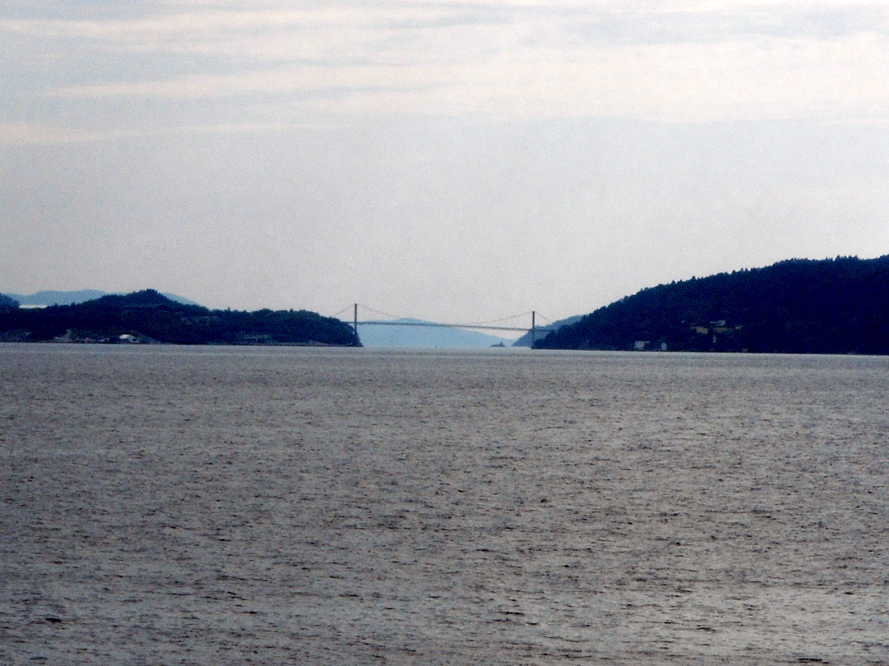 View of the Randøy Bridge which connects Randøy to the mainland. | |
 Randøy Location in Rogaland county | |
| Geography | |
|---|---|
| Location | Rogaland, Norway |
| Coordinates | 59.2089°N 6.0364°E |
| Area | 16.7 km2 (6.4 sq mi) |
| Length | 7.5 km (4.66 mi) |
| Width | 4 km (2.5 mi) |
| Highest elevation | 373 m (1224 ft) |
| Highest point | Randåsen |
| Administration | |
Norway | |
| County | Rogaland |
| Municipality | Hjelmeland |
| Demographics | |
| Population | 210 (2014) |
| Pop. density | 12.6/km2 (32.6/sq mi) |
The highest point on the island is the 373-metre (1,224 ft) tall mountain, Randåsen. The island is relatively flat in the south and it is more mountainous and forested in the central and northern regions. The island is known for its rich flora. An important industry on the island is fish farming.[1]
The island is connected to the mainland by the Randøy Bridge. There are regular ferry connections from the island to Fister, Hjelmelandsvågen, and the island of Ombo.[1]
See also
References
- Godal, Anne Marit (ed.). "Randøy". Store norske leksikon (in Norwegian). Norsk nettleksikon. Retrieved 12 May 2013.
This Rogaland location article is a stub. You can help Wikipedia by expanding it. |
Другой контент может иметь иную лицензию. Перед использованием материалов сайта WikiSort.org внимательно изучите правила лицензирования конкретных элементов наполнения сайта.
WikiSort.org - проект по пересортировке и дополнению контента Википедии