geo.wikisort.org - Island
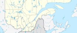
Province Island (French: Île de la Province) is an island mostly in the Canadian province of Québec, but partly in the U.S. state of Vermont. It is situated in Lake Memphremagog. The island's area is 310 ha (770 acres). Although 28 ha (69 acres) (9%) at its southern point is part of the United States (in the town of Derby, Vermont), the greater part belongs to the municipality of Ogden, Quebec, in Memphrémagog Regional County Municipality, Quebec. At the end of the 18th century a pioneer named Martin Adams and his wife built a house on the island, where they grew flax and vegetables. It is under private ownership; a pheasant hunt is organized annually. The Canada–United States border is marked by a five-meter strip cut through the forest. The island has been noted for its shape's similarity to the island of Taiwan.
This article includes a list of general references, but it lacks sufficient corresponding inline citations. (April 2017) |
Native name: Île de la Province | |
|---|---|
 Aerial view by NASA | |
 Province 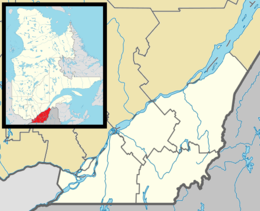 Province 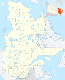 Province 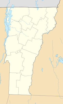 Province  Province  Province | |
| Geography | |
| Location | Lake Memphremagog |
| Coordinates | 45°00′34″N 72°13′57″W |
| Area | 0.31 km2 (0.12 sq mi) |
| Administration | |
Canada | |
| Province | Quebec |
United States | |
| State | Vermont |
References
This Estrie location article is a stub. You can help Wikipedia by expanding it. |
На других языках
[de] Île de la Province
Île de la Province (engl. Province Island) ist eine Insel im zu Kanada, Provinz Québec, und den Vereinigten Staaten gehörenden Lac Memphrémagog.- [en] Province Island
[fr] Île de la Province
L'île de la Province (anglais : Province Island) est une île du lac Memphrémagog située principalement au Québec, mais ayant une petite partie au Vermont.Другой контент может иметь иную лицензию. Перед использованием материалов сайта WikiSort.org внимательно изучите правила лицензирования конкретных элементов наполнения сайта.
WikiSort.org - проект по пересортировке и дополнению контента Википедии