geo.wikisort.org - Island
The Nøkkelholmane Islands are a scattered group of about 24 islands and rocks lying just off the west side of Skarvsnes Foreland in the east part of Lutzow-Holm Bay. They were mapped by Norwegian cartographers from air photos taken by the Lars Christensen Expedition, 1936–37, and named Nøkkelholmane (the key island).[1]
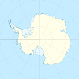  Nøkkelholmane Islands Location in Antarctica | |
| Geography | |
|---|---|
| Location | Antarctica |
| Coordinates | 69°24′S 39°29′E |
| Administration | |
| Administered under the Antarctic Treaty System | |
| Demographics | |
| Population | Uninhabited |
The largest island in the group is Nøkkel Island.[2]
See also
- List of antarctic and sub-antarctic islands
References
- "Nøkkelholmane Islands". Geographic Names Information System. United States Geological Survey, United States Department of the Interior. Retrieved 2019-04-25.
- "Nøkkel Island". Geographic Names Information System. United States Geological Survey, United States Department of the Interior. Retrieved 2019-04-25.
 This article incorporates public domain material from the United States Geological Survey document: "Nøkkelholmane Islands". (content from the Geographic Names Information System)
 | This Queen Maud Land location article is a stub. You can help Wikipedia by expanding it. |
На других языках
[de] Nøkkelholmane
Die Nøkkelholmane (aus dem Norwegischen wörtlich übersetzt Schlüssel-Inseln) sind eine verstreute Gruppe aus rund 24 Inseln vor der Prinz-Harald-Küste des ostantarktischen Königin-Maud-Lands. Sie liegen unmittelbar vor der Westseite der Halbinsel Skarvsnes im östlichen Teil der Lützow-Holm-Bucht.- [en] Nøkkelholmane Islands
Текст в блоке "Читать" взят с сайта "Википедия" и доступен по лицензии Creative Commons Attribution-ShareAlike; в отдельных случаях могут действовать дополнительные условия.
Другой контент может иметь иную лицензию. Перед использованием материалов сайта WikiSort.org внимательно изучите правила лицензирования конкретных элементов наполнения сайта.
Другой контент может иметь иную лицензию. Перед использованием материалов сайта WikiSort.org внимательно изучите правила лицензирования конкретных элементов наполнения сайта.
2019-2026
WikiSort.org - проект по пересортировке и дополнению контента Википедии
WikiSort.org - проект по пересортировке и дополнению контента Википедии