 View on the Moucha Island
 Beach View
 The mangrove swamp of Moucha
geo.wikisort.org - Island
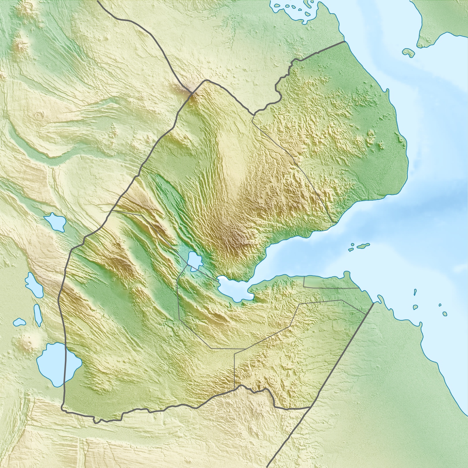
Moucha Island is a small coral island off the coast of Djibouti. It is located at the center of the Gulf of Tadjoura. The island is part of the Djibouti Region; the island has a total population of about 20 inhabitants, which increases considerably during the summer.
This article needs additional citations for verification. (January 2021) |
 | |
 Moucha Island | |
| Geography | |
|---|---|
| Location | Gulf of Tadjoura |
| Coordinates | 11°43′N 43°11′E |
| Area | 3.994 km2 (1.542 sq mi) |
| Length | 1.6 km (0.99 mi) |
| Width | 2.41 km (1.498 mi) |
| Highest elevation | 13 m (43 ft) |
| Administration | |
The island was occupied by Great Britain from 1840 to 1887.
History
In August 1840, the conclusion of a treaty of friendship and commerce between the Sultan Mohammed bin Mohammed of Tadjoura and Commander Robert Moresby of the Indian Navy describes the sale of Moucha Island to Great Britain for ten sacks of rice. The sale is, however, contingent upon occupation. In 1887, Britain ceded sovereignty of the island to France while recognizing the French sphere of influence in the Gulf of Tadjoura, in exchange for the abandonment by France of any right in Zeila and the neighboring Sa'ad ad-Din Islands.
In 1900, a quarantine station was built to accommodate persons in health quarantine, but it was ultimately not used for lack of available medical personnel.
The islands were used by Henry de Monfreid in 1914 as a weapons cache to try to sell smuggled arms. After the deposit was discovered, a "detachment indigenous guards" was installed on the island and occupancy restricted. This monitoring station was removed in May 1915.
Physical geography
Moucha Island is the largest island in Djibouti. Less than 3 km long, Moucha Island's mainland is surrounded by the smaller Maskali Islands, a few islets and a coral reef. It lies approximately 15 kilometres (9 miles) south of the Djibouti's mainland
Climate
It enjoys significantly more sunny days and high temperatures throughout the year. Featuring an arid climate (Köppen: BWh), temperatures range from very warm during the months of December, January and February, to extremely hot in July. There are two seasons: a summer dry season from May to October and a relatively cool season from November to April (winter).
| Climate data for Moucha Island | |||||||||||||
|---|---|---|---|---|---|---|---|---|---|---|---|---|---|
| Month | Jan | Feb | Mar | Apr | May | Jun | Jul | Aug | Sep | Oct | Nov | Dec | Year |
| Average high °C (°F) | 29.3 (84.7) |
29.8 (85.6) |
31.4 (88.5) |
33.2 (91.8) |
35.8 (96.4) |
38.2 (100.8) |
39.9 (103.8) |
39.1 (102.4) |
37.0 (98.6) |
34.4 (93.9) |
31.8 (89.2) |
30.0 (86.0) |
34.2 (93.5) |
| Average low °C (°F) | 22.2 (72.0) |
23.4 (74.1) |
24.4 (75.9) |
25.8 (78.4) |
27.9 (82.2) |
30.0 (86.0) |
30.0 (86.0) |
29.4 (84.9) |
29.5 (85.1) |
26.5 (79.7) |
24.4 (75.9) |
23.1 (73.6) |
26.4 (79.5) |
| Average rainfall mm (inches) | 5 (0.2) |
9 (0.4) |
19 (0.7) |
14 (0.6) |
8 (0.3) |
0 (0) |
0 (0) |
6 (0.2) |
11 (0.4) |
10 (0.4) |
7 (0.3) |
6 (0.2) |
95 (3.7) |
| Source: Climate-Data | |||||||||||||
Gallery of photos
Moucha Island


Economy
The economy of Moucha is predominantly based on services and tourism. Moucha Island is one of the popular holiday destinations in Djibouti. Musha, the main city on the island, is served by the Moucha Airport.[1] All of these islands, sometimes collectively referred to as Moucha Islands, are well-known diving sites.
References
- Airport information for HDMO at Great Circle Mapper.
| Wikivoyage has a travel guide for Moucha Island. |
This Djibouti location article is a stub. You can help Wikipedia by expanding it. |
На других языках
[de] Musha (Insel)
Musha (Île Moucha) ist eine kleine Koralleninsel[1] Dschibutis im Golf von Tadjoura. Das Eiland liegt etwa fünfzehn Kilometer nördlich der Hauptstadt von Dschibuti, Dschibuti-Stadt, und gehört zum Hauptstadtbezirk, speziell zum Sechsten Arrondissement (Arrondissement du Plateau), das sich mit der commune Ras-Dika deckt. Zusammen mit nahegelegenen Inseln wie Maskal (anderthalb Kilometer westlich) und Île du Large (700 Meter südlich) bildet Musha die Gruppe der Musha-Inseln.- [en] Moucha Island
[fr] Île Moucha
L'île Moucha est une petite île semi-désertique de la république de Djibouti à l'entrée du golfe de Tadjourah, à une quinzaine de kilomètres au large de la ville de Djibouti.[ru] Муша (остров)
Остров Муша — коралловый остров на входе в залив Таджура у побережья Джибути. Остров является частью региона Джибути. Население острова составляет около 20 человек и значительно увеличивается в течение лета.Текст в блоке "Читать" взят с сайта "Википедия" и доступен по лицензии Creative Commons Attribution-ShareAlike; в отдельных случаях могут действовать дополнительные условия.
Другой контент может иметь иную лицензию. Перед использованием материалов сайта WikiSort.org внимательно изучите правила лицензирования конкретных элементов наполнения сайта.
Другой контент может иметь иную лицензию. Перед использованием материалов сайта WikiSort.org внимательно изучите правила лицензирования конкретных элементов наполнения сайта.
2019-2026
WikiSort.org - проект по пересортировке и дополнению контента Википедии
WikiSort.org - проект по пересортировке и дополнению контента Википедии