geo.wikisort.org - Island
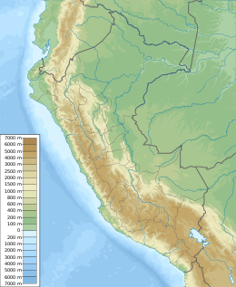
Matapalo Island is an island located in the region of Tumbes, Peru in the Pacific Ocean. It is separated from the mainland by a strait 198 – 273 m wide, in east-west orientation. With a total area of 6.08 km², it is the biggest of the Peruvian islands in the Gulf of Guayaquil.[1]
 Matapalo Island | |
| Geography | |
| Location | Pacific Ocean |
| Coordinates | 3°26′7.34″S 80°15′27.45″W |
| Area | 6.08 km2 (2.35 sq mi) |
| Administration | |
| Region | Tumbes |
| Additional information | |
| Time zone |
|
Vegetation present in the island consists of mangrove forests, dry tropical forests and grasslands.[2]
References
- Instituto Nacional de Estadística e Informática. : Departamento de Tumbes - Principales islas con indicación de su superficie, ubicación geográfica y ubicación política
- Instituto Nacional de Recursos Naturales - Inrena (2007). Santuario Nacional Los Manglares de Tumbes 2007 - 2011 (in Spanish). Lima. p. 197.
Текст в блоке "Читать" взят с сайта "Википедия" и доступен по лицензии Creative Commons Attribution-ShareAlike; в отдельных случаях могут действовать дополнительные условия.
Другой контент может иметь иную лицензию. Перед использованием материалов сайта WikiSort.org внимательно изучите правила лицензирования конкретных элементов наполнения сайта.
Другой контент может иметь иную лицензию. Перед использованием материалов сайта WikiSort.org внимательно изучите правила лицензирования конкретных элементов наполнения сайта.
2019-2025
WikiSort.org - проект по пересортировке и дополнению контента Википедии
WikiSort.org - проект по пересортировке и дополнению контента Википедии