geo.wikisort.org - Island
The Longships is the name given to a group of rocky islets situated approximately 11⁄4 miles (2 km) west of Land's End, Cornwall, United Kingdom.[1] The islets are marked by the Longships Lighthouse, the current structure being first lit in December 1873. The islets are very popular for recreational diving, the sea has clear water with prolific marine life and flora.[2]
Longships | |
|---|---|
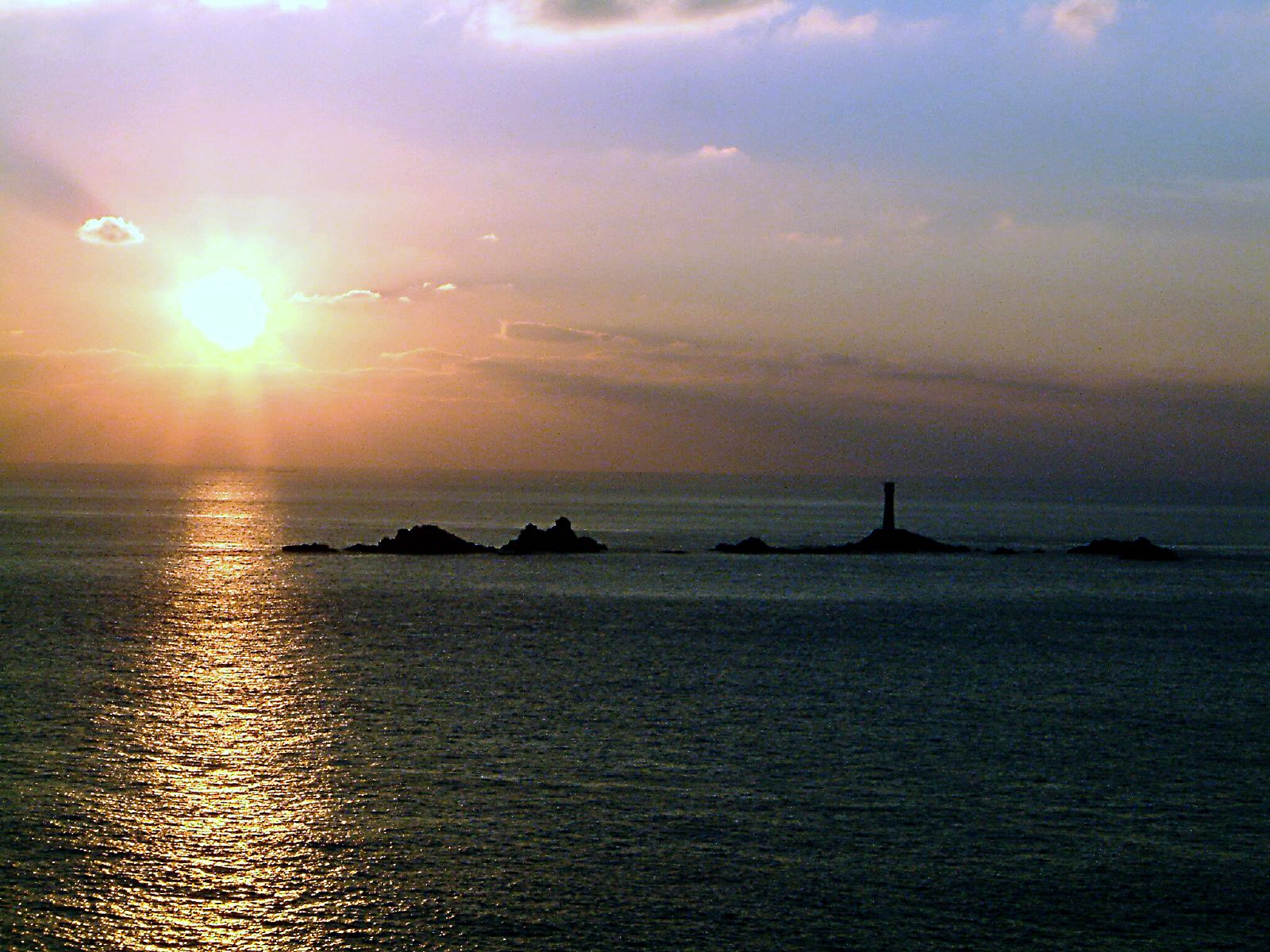 A view of the Longships from the mainland
 | |
 Longships Location in Cornwall | |
| Coordinates: 50.0661°N 5.7458°W | |
| Location | Cornwall, UK |
Geography
The Longships lie off the granite headland of Land's End and the contact area between the granite pluton and the ″country rocks″ is just offshore. The reef is within a metamorphic aureole formed after the granite intruded the earlier Devonian rocks between 268 and 275 million years ago, during the Permian period. [3] Much of the Longship group is submerged at high water but the three largest islets in the group – Tal-y-Maen, Carn Bras, and Meinek – remain above the high water mark. Two smaller rocks known as Kettle's Bottom are situated midway between Longship and the coast. The Longships islets (but not Kettle's Bottom rocks) are in the civil parish of Sennen.[4]
Names of the rocks
The names of the rocks that make up the reef have meanings in the Cornish language.
- Cein (Cornish: Keyn, meaning back, ridge, or keel)
- Farkell Carn (Cornish: Karn Forhel, meaning forked rock-pile)
- Tal-y-maen (Cornish: Tal an Meyn, meaning brow of the stones)
- Carn Bras (Cornish: Karn Bras, meaning big rock-pile)
- Herly (Cornish: Hir Legh, meaning long ledge)
- Plassek (Cornish: Plosek, meaning foul one)
- Meinek (Cornish: Meynek, meaning stony place)
Shipwrecks

It is not known how many ships have been lost in and around Land's End but there are hundreds recorded and probably thousands unknown. One of the earliest recorded on the Longships, is an unidentified ship lost at the Long Shipps in 1532 reported by the bayliffe John Penheleg.[5] Other wrecks include:
- 1898: S.S. Bluejacket,
- 1901, November: 'Mary James.' Built 1862 by Richard Tredwen in Padstow. For most of her life owned by the St. Just family of Harvey James and made many voyages to Wales with copper ore, bringing back coal for the mines. Sank after dismasting.[6]
Gallery
 Longships Lighthouse in the distance
 Longships Lighthouse


References
- Ordnance Survey: Landranger map sheet 203 Land's End ISBN 978-0-319-23148-7
- Totnes BSAC website Archived 2012-02-27 at the Wayback Machine; retrieved June 2010
- Hall, A (1994). Geologist's Association Guide No. 19 - West Cornwall (Second ed.). London: Geologists' Association. p. 50. ISBN 0 900717 57 2.
- Cornwall Council online mapping Archived 2010-05-05 at the Wayback Machine; Retrieved June 2010
- Larn, Richard; Mills, G Edwin (1970). Shipwrecks at Land's End. p. 34.
- Jenkin, C. J. (2009) Newlyn. 'A view from Street-an-Nowan'. Penryn: R. Booth Ltd.
Cornwall Portal | |
| Unitary authorities |
|
| Major settlements |
|
| Rivers | |
| Topics |
|
На других языках
- [en] Longships, Cornwall
[it] Longships
Longships è un gruppo di isolotti rocciosi situati circa 2 km a ovest di Land's End, Cornovaglia, Regno Unito.[1]Другой контент может иметь иную лицензию. Перед использованием материалов сайта WikiSort.org внимательно изучите правила лицензирования конкретных элементов наполнения сайта.
WikiSort.org - проект по пересортировке и дополнению контента Википедии