geo.wikisort.org - Island
Long Island was an island located in Chesapeake Bay, northwest of another former island, Holland Island. The island was shown on maps up until near 1934,[1] when erosion of nearby islands combined with the rising sea levels caused it to be submerged.
This article relies too much on references to primary sources. (June 2020) |
 Map of Long Island and Holland Island from a 1927 Topographic Map | |
| Geography | |
|---|---|
| Location | Chesapeake Bay |
| Coordinates | 38°08'11.8"N 76°05'57.6"W |
| Administration | |
United States | |
| State | Maryland |
| Demographics | |
| Population | 0 |
References
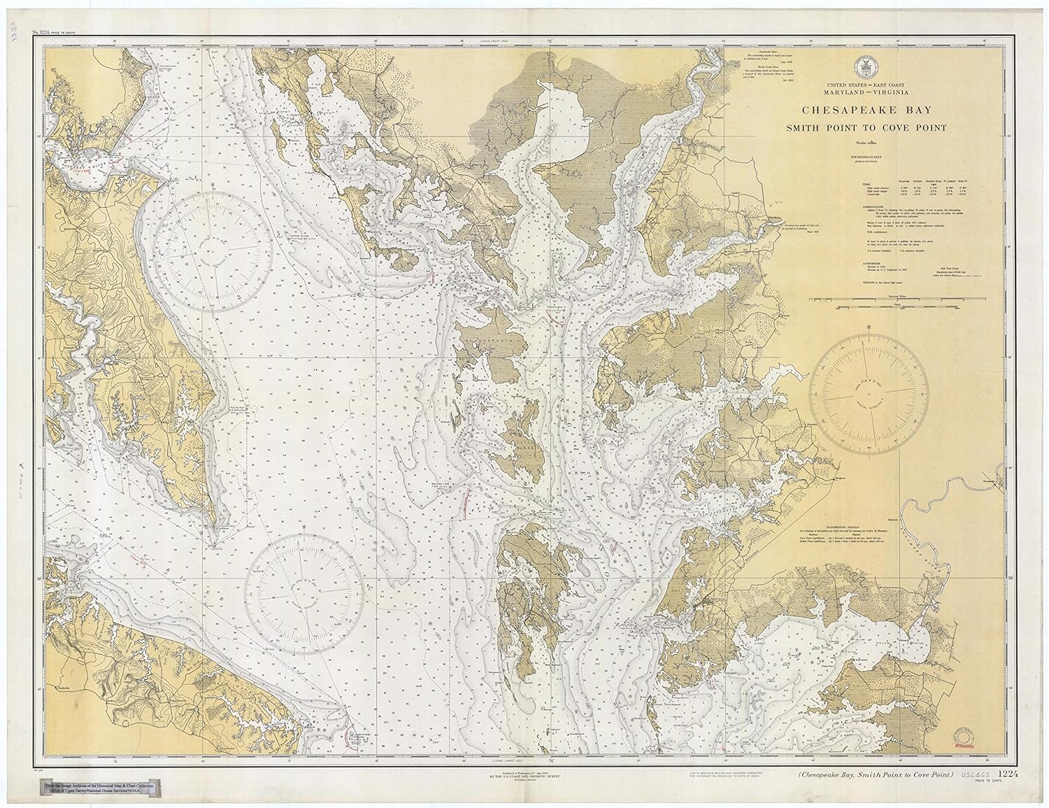
- "Chesapeake Bay: Smith Point to Cover Point".
{{cite web}}: CS1 maint: url-status (link)
Текст в блоке "Читать" взят с сайта "Википедия" и доступен по лицензии Creative Commons Attribution-ShareAlike; в отдельных случаях могут действовать дополнительные условия.
Другой контент может иметь иную лицензию. Перед использованием материалов сайта WikiSort.org внимательно изучите правила лицензирования конкретных элементов наполнения сайта.
Другой контент может иметь иную лицензию. Перед использованием материалов сайта WikiSort.org внимательно изучите правила лицензирования конкретных элементов наполнения сайта.
2019-2025
WikiSort.org - проект по пересортировке и дополнению контента Википедии
WikiSort.org - проект по пересортировке и дополнению контента Википедии