geo.wikisort.org - Island
Little Andaman Group is a group of islands of the Andaman Islands, which include all islands south of Duncan Passage. It belongs to the South Andaman administrative district, part of the Indian union territory of Andaman and Nicobar Islands.[6]
 Little Andaman Island Location in the Andaman and Nicobar Islands and in the Bay of Bengal  Little Andaman Island Little Andaman Island (Bay of Bengal) | |
| Geography | |
|---|---|
| Location | Bay of Bengal |
| Coordinates | 10.65°N 92.49°E |
| Archipelago | Andaman Islands |
| Adjacent bodies of water | Indian Ocean |
| Total islands | 1 |
| Major islands |
|
| Area | 709.2 km2 (273.8 sq mi)[1] |
| Highest elevation | 183 m (600 ft)[2] |
| Administration | |
| District | South Andaman |
| Island group | Andaman Islands |
| Tehsil | Little Andaman Tehsil |
| Largest settlement | Kwate-tu-Kwage (Hut Bay) |
| Demographics | |
| Population | 18823 (2011) |
| Pop. density | 26.5/km2 (68.6/sq mi) |
| Ethnic groups | Hindu, Andamanese |
| Additional information | |
| Time zone |
|
| PIN | 744202[3] |
| Telephone code | 031927[4] |
| ISO code | IN-AN-00[5] |
| Official website | www |
| Literacy | 84.4% |
| Avg. summer temperature | 30.2 °C (86.4 °F) |
| Avg. winter temperature | 23.0 °C (73.4 °F) |
| Sex ratio | 1.2♂/♀ |
| Census Code | 35.640.0009 |
| Official Languages | Hindi, English |

Geography
The group includes The Brothers (Andaman), and Little Andaman Island.[7]
Administration
Politically, Little Andaman group is also a tehsil of Andaman.[8]
Demographics
The main village of Kwate-tu-Kwage is located on Hut Bay. only Little Andaman island is inhabited.
Image gallery
 Outline map of the Andaman Islands, with the location of Little Andaman highlighted (in red).
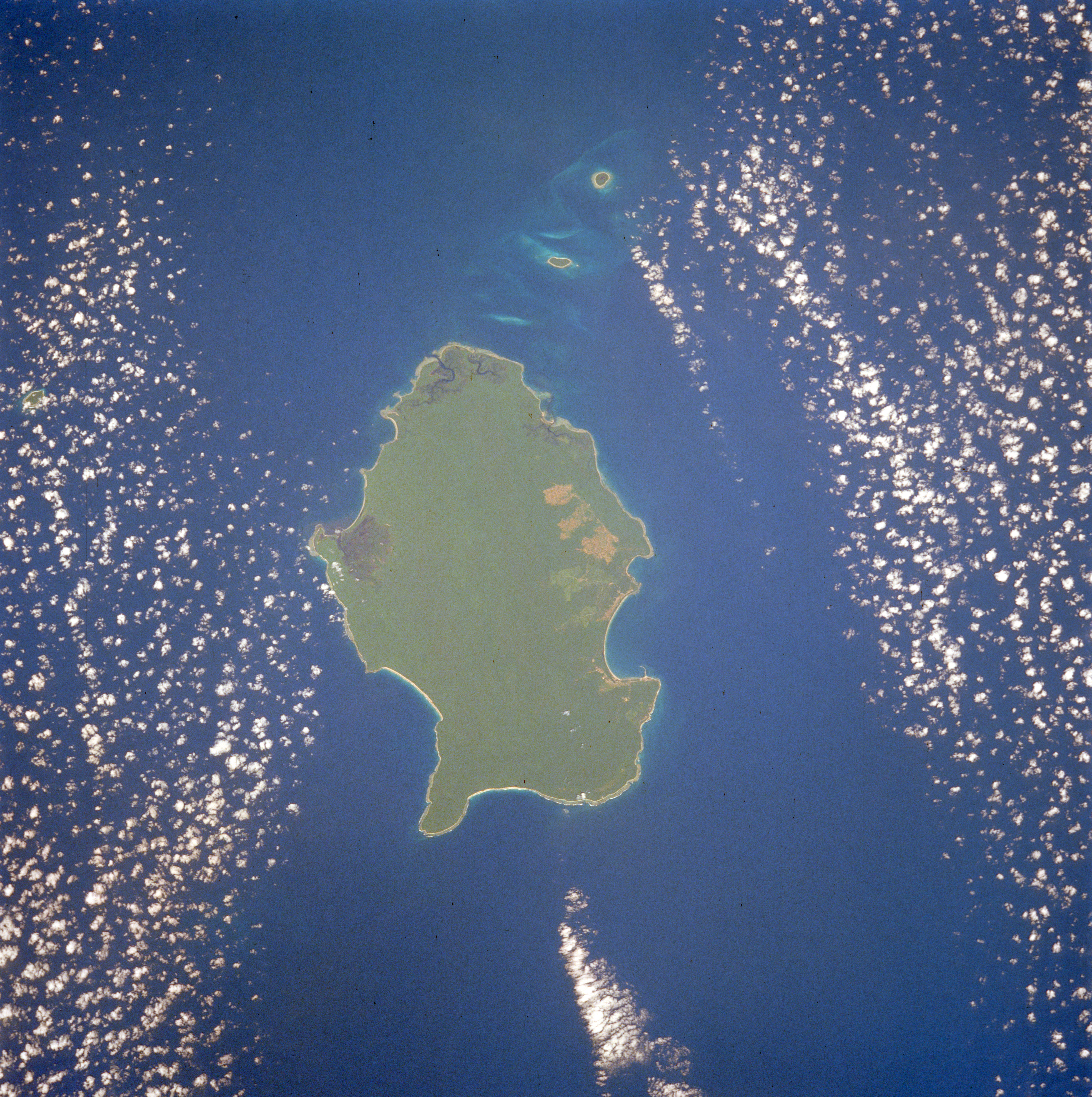
 1990 Space Shuttle image of Little Andaman

References
- "Islandwise Area and Population - 2011 Census" (PDF). Government of Andaman.
- Sailing Directions (Enroute), Pub. 173: India and the Bay of Bengal (PDF). Sailing Directions. United States National Geospatial-Intelligence Agency. 2017. p. 288.
- "A&N Islands - Pincodes". 22 September 2016. Archived from the original on 23 March 2014. Retrieved 22 September 2016.
{{cite web}}: CS1 maint: bot: original URL status unknown (link) - "STD Codes of Andaman and Nicobar". allcodesindia.in. Retrieved 23 September 2016.
- Registration Plate Numbers added to ISO Code
- "Village Code Directory: Andaman & Nicobar Islands" (PDF). Census of India. Retrieved 16 January 2011.
- "map". Archived from the original on 17 August 2019. Retrieved 16 October 2016.
- "DEMOGRAPHIC – A&N ISLANDS" (PDF). andssw1.and.nic.in. Retrieved 23 September 2016.
External links
 Little Andaman travel guide from Wikivoyage
This Andaman and Nicobar Islands location article is a stub. You can help Wikipedia by expanding it. |
Текст в блоке "Читать" взят с сайта "Википедия" и доступен по лицензии Creative Commons Attribution-ShareAlike; в отдельных случаях могут действовать дополнительные условия.
Другой контент может иметь иную лицензию. Перед использованием материалов сайта WikiSort.org внимательно изучите правила лицензирования конкретных элементов наполнения сайта.
Другой контент может иметь иную лицензию. Перед использованием материалов сайта WikiSort.org внимательно изучите правила лицензирования конкретных элементов наполнения сайта.
2019-2026
WikiSort.org - проект по пересортировке и дополнению контента Википедии
WikiSort.org - проект по пересортировке и дополнению контента Википедии