geo.wikisort.org - Island
Klosterøy is an island in Stavanger municipality in Rogaland county, Norway.[1] The 1.7-square-kilometre (0.66 sq mi) island lies on the south side of the Boknafjorden in the Rennesøy island group. It lies immediately north of the island of Fjøløy and immediately west of the island of Mosterøy. All three islands are connected by bridges and Mosterøy is connected to the island of Sokn which in turn is connected to the city of Stavanger on the mainland by the Byfjord Tunnel.
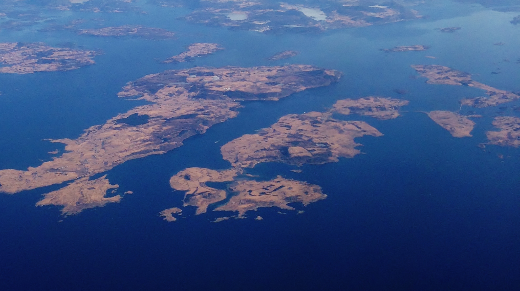 Small S-shaped island in center, front of picture | |
 Klosterøy Location in Rogaland county | |
| Geography | |
|---|---|
| Location | Rogaland, Norway |
| Coordinates | 59.1037°N 5.5805°E |
| Area | 1.7 km2 (0.66 sq mi) |
| Highest elevation | 79 m (259 ft) |
| Highest point | Knebberfjellet |
| Administration | |
Norway | |
| County | Rogaland |
| Municipality | Stavanger |
Klosterøy island is notable since it is the location of the historic Utstein Abbey and the 800-year old Utstein Church. Most of the island is agricultural land, with most residents living on the far eastern end of the island, along the small channel separating the island from Mosterøy.
See also
References
- "Klosterøy, Rennesøy (Rogaland)" (in Norwegian). yr.no. Retrieved 2015-12-14.
| Authority control: National libraries |
|---|
This Rogaland location article is a stub. You can help Wikipedia by expanding it. |
На других языках
[de] Klosterøy
Klosterøy ist eine Insel in der Nordsee an der norwegischen Küste. Sie gehört zur Gemeinde Stavanger in der Provinz Rogaland.- [en] Klosterøy
Другой контент может иметь иную лицензию. Перед использованием материалов сайта WikiSort.org внимательно изучите правила лицензирования конкретных элементов наполнения сайта.
WikiSort.org - проект по пересортировке и дополнению контента Википедии