geo.wikisort.org - Island
Fuga Island is an island and barangay located north of Luzon and is part of the Babuyan Islands, which is the second-northernmost island group of the Philippines. Barangay Fuga Island is one of the 42 barangays under the jurisdiction of the municipality of Aparri in the province of Cagayan.
 Fuga Island tide gauge in 1927 | |
 Fuga Island Location within the Philippines | |
| Geography | |
|---|---|
| Coordinates | 18°52′21″N 121°22′44″E |
| Archipelago | Babuyan Islands |
| Adjacent to | Babuyan Channel |
| Area | 70 km2 (27 sq mi)[1] |
| Highest elevation | 191 m (627 ft)[2] |
| Highest point | Mount Nanguringan |
| Administration | |
Philippines | |
| Region | Cagayan Valley |
| Province | Cagayan |
| Municipality | Aparri |
| Demographics | |
| Population | 1,939 (2020) [3] |
| Pop. density | 27.7/km2 (71.7/sq mi) |
Geography
Fuga has an area of 70 square kilometres (27 sq mi)[1] and a population of 2,015 people. [4] The principal settlement is Naguilian (Musa) village on the southern coast. The highest peak is Mount Nanguringan in the northeast, with an elevation of 191 metres (627 ft).[2]
Along with the neighbouring islets of Barit (7 square kilometres (2.7 sq mi)) and Mabaag,[5] it constitutes one of 42 barangays of the municipality of Aparri, Cagayan. It is the only one of the Babuyan Islands under the jurisdiction of a mainland municipality, whereas all other islands form the municipality of Calayan.
History
Presently, Fuga Island is owned by Fuga Island Holdings. It was formerly owned by the Dominican Order under the encomienda system during the Spanish Period eventually returned to the Filipinos after the signing of 1898 Treaty of Paris. The first land title was issued in 1908 under Original Certificate Title number two, and the Insular Government of the Philippine Islands designated the island and surrounding ports an economic zone as part of the Cagayan Special Economic Zone (CEZA) and Freeport under Republic Act No. 7922.[6]
Archaeology
From January 31, 1978 to February 22, 1978, Bryan E. Snow and Richard Shutler, Jr. conducted an archaeological excavation on Fuga Moro Island. Only earthenware, pottery, porcelains, and stoneware were found during the excavation.[7]
Military presence
On August 7, 2020, the Northern Luzon Command established a Marine detachment on the island. It also plans to build a defense facilities on the island, which will include a sheltered pier, a naval station, and a littoral monitoring on 20-hectare detachment.[8]
See also
References
- Genevieve Broad; Carl Oliveros. "Biodiversity and conservation priority setting in the Babuyan Islands, Philippines" (PDF). The Technical Journal of Philippine Ecosystems and Natural Resources. 15 (1–2): 1–30. Retrieved 18 April 2018.
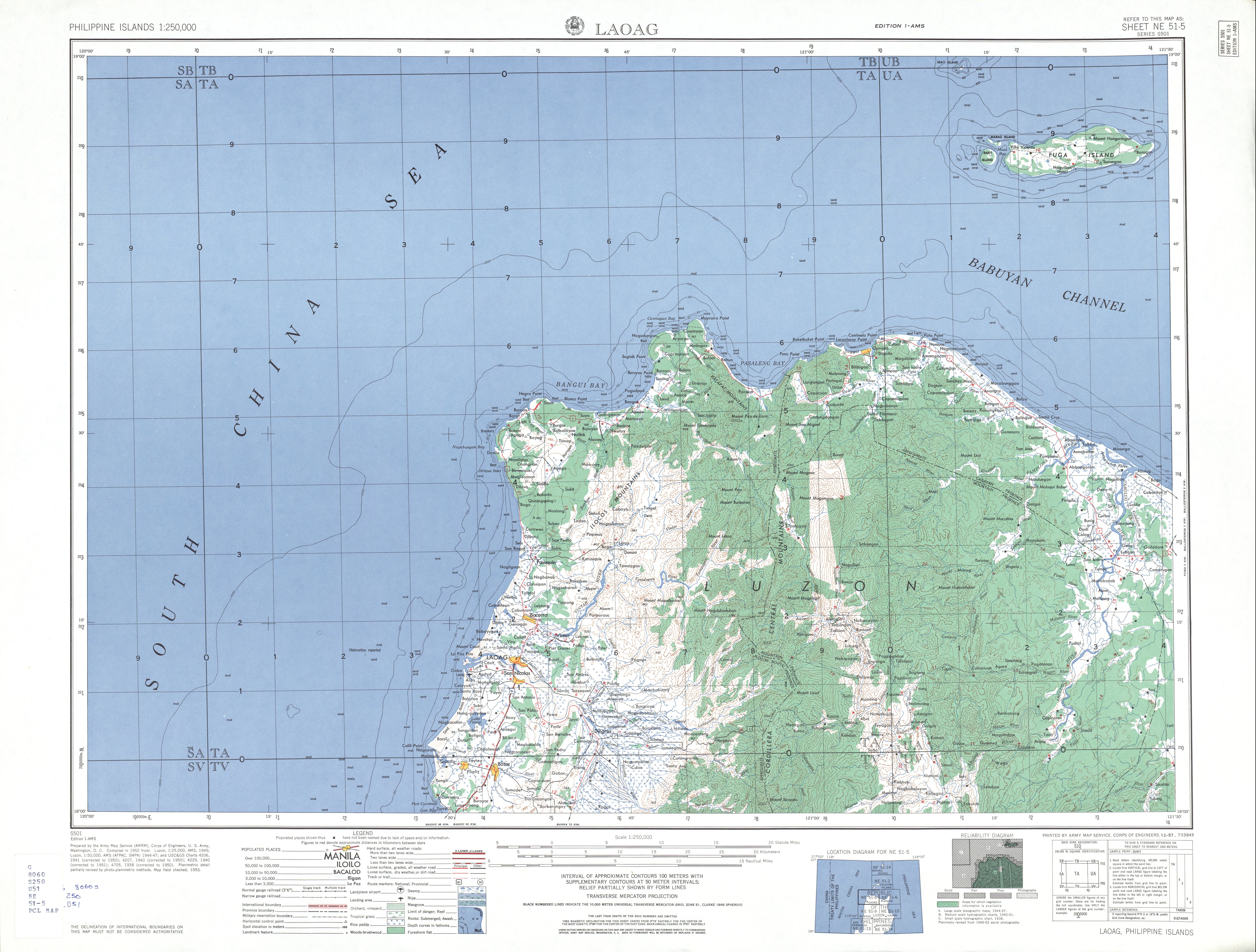
- "NE 51-5 Laoag". Series S501, U.S. Army Map Service, 1954-. The University of Texas at Austin. Retrieved 18 April 2018.
- Census of Population (2020). "Region II (Cagayan Valley)". Total Population by Province, City, Municipality and Barangay. PSA. Retrieved 8 July 2021.
- Census of Population (2015). "Region II (Cagayan Valley)". Total Population by Province, City, Municipality and Barangay. PSA. Retrieved 20 June 2016.
- Google (1 February 2020). "Fuga Island" (Map). Google Maps. Google. Retrieved 1 February 2020.
- "Republic Act No. 7922: An act establishing a special economic zone and free port in the municipality of Santa Ana and the neighboring islands in the municipality of Aparri, province of Cagayan, providing funds therefor, and for other purposes" (PDF). ceza.gov.ph. Congress of the Philippines. February 24, 1995. Retrieved 18 April 2018.
- Bryan E. Snow and Richard Shutler, Jr. (1985). The Archaeology of Fuga Moro Island:New Approaches for the Isolation and Explanation of Diagnostic Ceramic Assemblages in Northern Luzon. University of San Carlos. ISBN 9789711000479.
{{cite book}}: CS1 maint: uses authors parameter (link) - "Navy safeguards northern islands". Philippine News Agency. 26 August 2020. Retrieved 28 May 2021.
External links
- Fuga Island at OpenStreetMap
- Gma News Video, Isla Fuga
На других языках
[de] Fuga Island
Fuga Island ist der Name einer Insel in der Provinz Cagayan auf den Philippinen. Sie gehört zum Inselarchipel der Babuyan-Inseln und liegt etwa 40 km vor der Nordküste der Insel Luzon, in der Luzonstraße. Die Insel hat eine Fläche von circa 100 km² und wird von der Stadtgemeinde Aparri verwaltet. Auf der Insel liegt der Barangay Fuga Island, der im Jahr 2007 1786 Einwohner hatte.- [en] Fuga Island
[es] Isla Fuga
La Isla Fuga, es el nombre de una isla en el municipio de Aparri, Cagayán, que se encuentra en el extremo norte de Filipinas, siendo parte del Archipiélago Babuyan. Según el último censo, tiene una población de 1.786 personas distribuidas en 312 hogares, posee unas 10 000 hectáreas (100 km²).[2] La isla todavía conserva una cultura tradicional. Por ejemplo todos los años se construye una imitación de un barco que flota en el mar, una tradición que comenzó en 1656 (para entonces estaba bajo el gobierno español) cuando la isla fue prácticamente invadida por los barcos británicos. Sólo la defensa y pensamiento rápido de los nativos mantuvieron la isla lejos de la colonización británica.[it] Fuga (isola)
Fuga è un'isola delle Filippine, situata nel nord del Paese e appartenente alle isole Babuyan. Dal punto di vista amministrativo essa fa parte della municipalità di Aparri, nella provincia di Cagayan.Другой контент может иметь иную лицензию. Перед использованием материалов сайта WikiSort.org внимательно изучите правила лицензирования конкретных элементов наполнения сайта.
WikiSort.org - проект по пересортировке и дополнению контента Википедии