geo.wikisort.org - Island
Diogo Island known as Di'nem Island is an uninhabited volcanic island in the province of Batanes, the northernmost province in the Philippines. Also known as Di'nem Island in the native language,[2] Diogo is a lone rock rising out of the sea, with steep cliffs on every side, and dangerous currents make landing there practically impossible. It is an extinct volcano which has suffered heavily from marine erosion.[3]
Native name: Inem | |
|---|---|
 | |
 Diogo Location within Batanes  Diogo Diogo (Luzon)  Diogo Diogo (Philippines) | |
| Geography | |
| Location | Luzon Strait |
| Coordinates | 20°42′8″N 121°55′41″E |
| Archipelago | Batanes Group of Islands |
| Length | 1.2 km (0.75 mi) |
| Width | 1.2 km (0.75 mi) |
| Highest elevation | 547 m (1795 ft)[1] |
| Highest point | Mount Di'nem |
| Administration | |
Philippines | |
| Region | Cagayan Valley |
| Province | Batanes |
| Municipality | Itbayat |
| Demographics | |
| Population | uninhabited |
| Additional information | |
| Official website | Batanes Province Official Website |
Geography
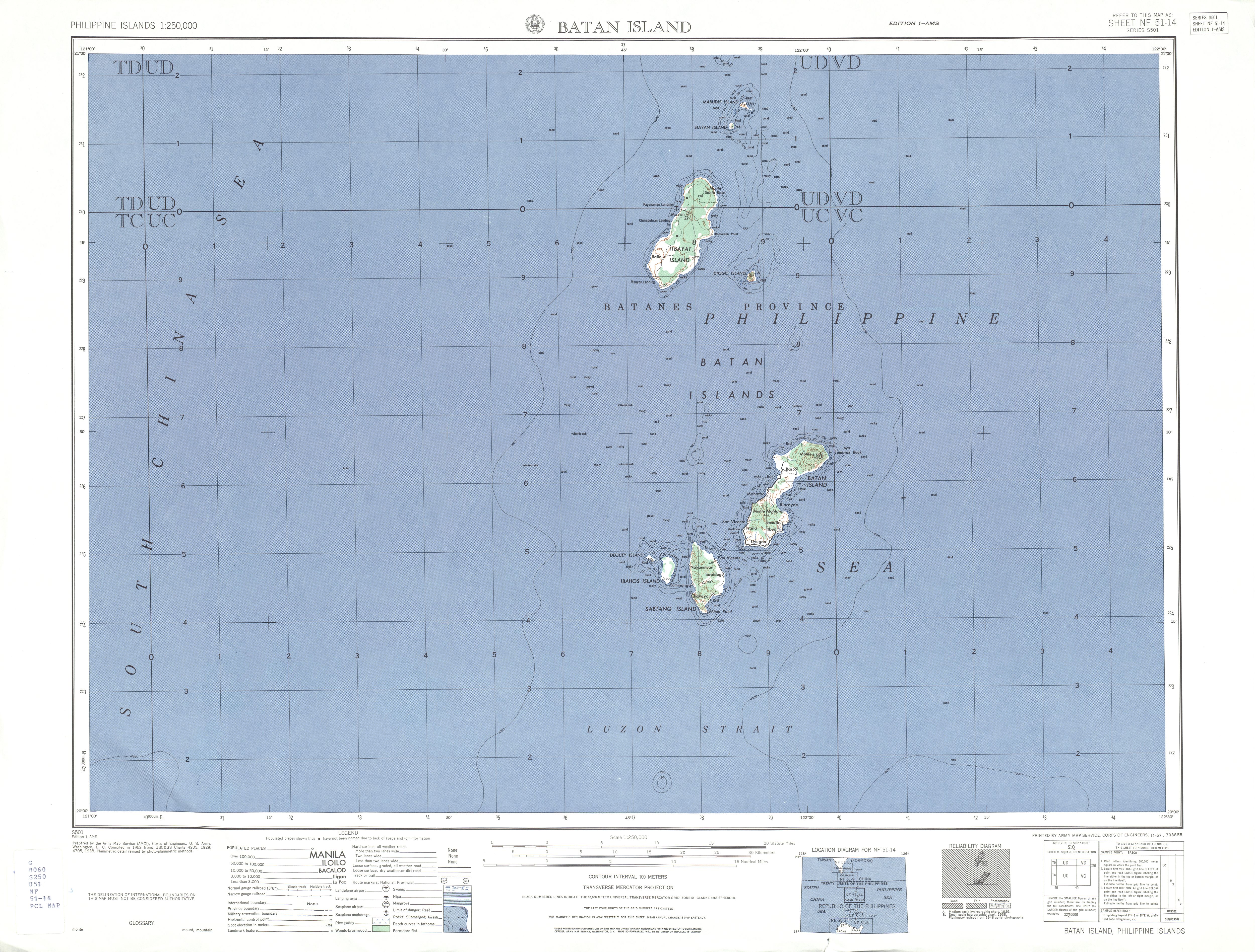
Diogo is a small, round island over 1,795 feet (547 m) high, about 3/4 mile (1.21 km) in diameter, lying 3 1/2 miles (5.6 km) southeastward of Itbayat Island. It is steep on the western side but has several small islets lying off the eastern side, the outermost being nearly 1/2 mile (0.80 km) distant.[4]
Geology
In 1903, Diogo Island was observed to be volcanic, discharging vapor and dark material, but another observation in 1908 believe that those are small clouds which often hang around the mountain.[3] It is listed as an inactive volcano[5] by the Philippine Institute of Volcanology and Seismology.
Previous names
In old Spanish maps, the name of the island was listed as Isla Diego or Rodonta.[6]
See also
- List of islands of the Philippines
- List of islands
- Desert island
References
- U.S. Army Corps of Engineer (1952). "Batan Island Map". University of Texas at Austin Library. Retrieved on 2011-06-05.
- University of Georgia, Yami culture of Taiwan Archived 2011-08-07 at the Wayback Machine, Retrieved on 2010-08-24
- Ferguson, Henry G. (1908-02). "The Philippine Journal of Science, Vol.3 Part 1", p.12. Manila Bureau of Printing, 1908.
- U.S. Coast and Geodetic Survey, Department of Commerce. United States Coast Pilot, Philippine Islands Part I, p. 39. Washington Government Printing Office, 1919.
- PHILVOCS, List of Inactive Volcanoes in the Philippines. Retrieved on 2010-08-24.
- Algué, P. José (1899). Atlas de Filipinas", p. 39. Washington Government Printing Office, 1900.
На других языках
[de] Diogo Island
Diogo Island ist eine Insel in der Provinz Batanes auf den Philippinen. Regional ist die Insel auch unter den Namen „Dinem“ und „Di'nem“ bekannt. Sie gehört zum Inselarchipel der Batan-Inseln und liegt etwa 289 km vor der Nordküste der Insel Luzon, in der Luzonstraße. Die Insel hat eine Fläche von rund 1,6 km² und gehört zum Baranggay Raele der Stadtgemeinde Itbayat.- [en] Diogo Island
Другой контент может иметь иную лицензию. Перед использованием материалов сайта WikiSort.org внимательно изучите правила лицензирования конкретных элементов наполнения сайта.
WikiSort.org - проект по пересортировке и дополнению контента Википедии