geo.wikisort.org - Island
Cockspur Island is an island in the south channel of the Savannah River near Lazaretto Creek, northwest of Tybee Island, Georgia, United States. Most of the island is within the boundaries of Fort Pulaski National Monument. The island was so named on account of its bent shape. It was originally called Pepper Island and is also called Long Island.[1]
 Entrance to the Demilune, Fort Pulaski National Monument, Cockspur Island, Georgia. | |
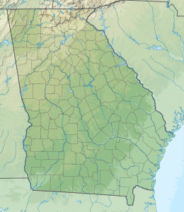 Cockspur Island Cockspur Island 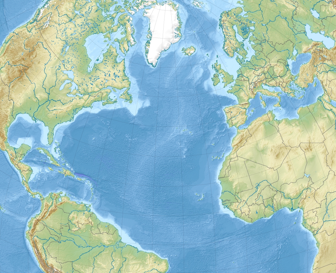 Cockspur Island Cockspur Island (North Atlantic) | |
| Geography | |
|---|---|
| Location | North Atlantic |
| Coordinates | 32°1′40″N 80°53′54″W |
| Administration | |
| County | Chatham County, Georgia |
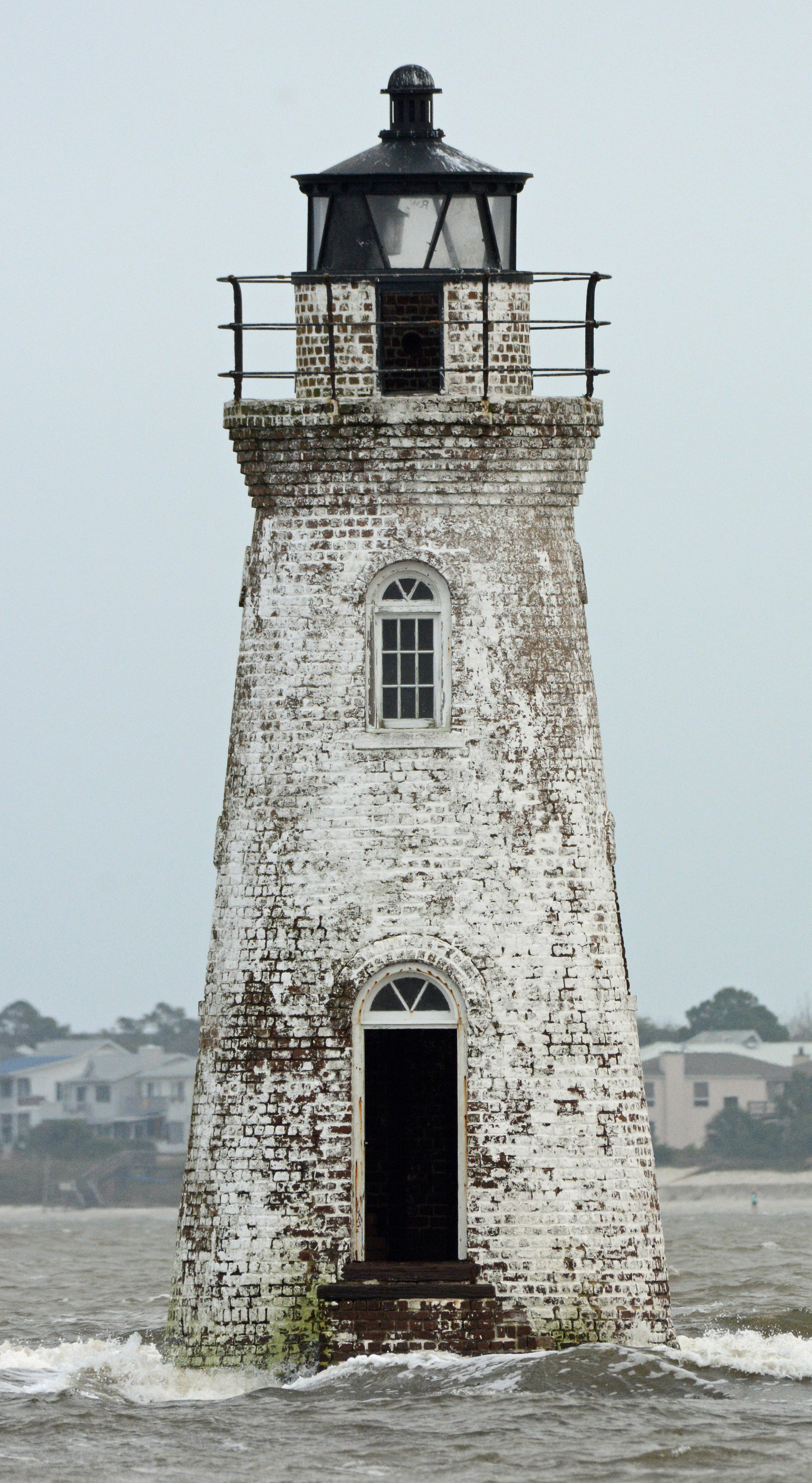
Historic buildings on the island include Fort Pulaski (built in 1847) and the Cockspur Island Lighthouse (built in 1837–39),[2] designed by John S. Norris, the New York City architect.
History
The founder of Methodism, John Wesley landed at the island on February 6, 1736, and a monument marks the spot where Wesley conducted a service of thanksgiving. During the American Civil War, the Battle of Fort Pulaski was fought on the island, in which the United States Army captured the fort from the Confederate States Army on April 11, 1862. Confederate soldiers were imprisoned in the fort. During the Spanish–American War, a coastal artillery battery, Battery Hambright, was built on the island; it was reactivated during World War I and World War II.
Photos
 Fort Pulaski
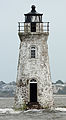 Cockspur Island Lighthouse
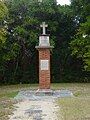 The monument erected on the island where John Wesley first landed in America.
 Oyster bed on Cockspur Island
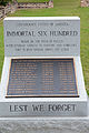 Immortal Six Hundred memorial


References
- Krakow, Kenneth K. (1975). Georgia Place-Names: Their History and Origins (PDF). Macon, GA: Winship Press. p. 47. ISBN 0-915430-00-2.
- U.S. Geological Survey Geographic Names Information System: Cockspur Island Lighthouse (historical)
Authority control | |
|---|---|
| National libraries | |
| Other | |
This Chatham County, Georgia state location article is a stub. You can help Wikipedia by expanding it. |
Другой контент может иметь иную лицензию. Перед использованием материалов сайта WikiSort.org внимательно изучите правила лицензирования конкретных элементов наполнения сайта.
WikiSort.org - проект по пересортировке и дополнению контента Википедии