geo.wikisort.org - Island
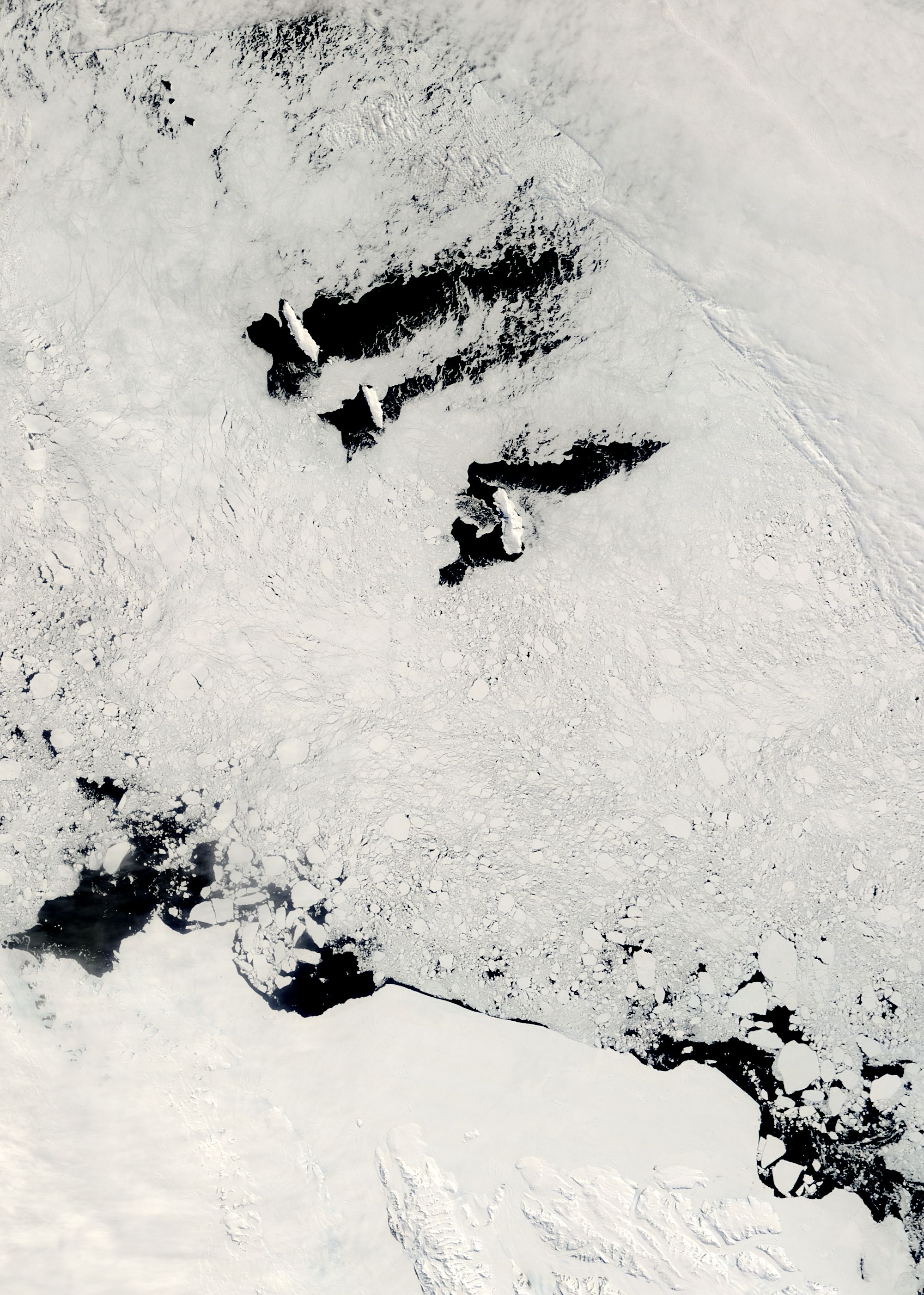
The Balleny Islands (66°55′S 163°45′E) are a series of uninhabited islands in the Southern Ocean extending from 66°15' to 67°35'S and 162°30' to 165°00'E. The group extends for about 160 km (99 mi) in a northwest-southeast direction. The islands are heavily glaciated and of volcanic origin. Glaciers project from their slopes into the sea. The islands were formed by the so-called Balleny hotspot.
 Map of the Balleny Islands | |
 Balleny Islands Location in Antarctica | |
| Geography | |
|---|---|
| Location | Antarctica |
| Coordinates | 66°55′S 163°45′E |
| Archipelago | Balleny Islands |
| Area | 800 km2 (310 sq mi) |
| Highest elevation | 1,705 m (5594 ft) |
| Highest point | Brown Peak[1][2] |
| Administration | |
| Administered under the Antarctic Treaty System | |
| Demographics | |
| Population | Uninhabited |
The group includes three main islands: Young, Buckle and Sturge, which lie in a line from northwest to southeast, and several smaller islets and rocks:
- northeast of Young Island: Seal Rocks, Pillar
- southeast of Young Island: Row Island, Borradaile Island (with Swan Base shelter hut)
- south of Buckle Island: Scott Cone, Chinstrap Islet, Sabrina Islet (with Sabrina Refuge shelter hut), and the Monolith
The islands are claimed by New Zealand as part of the Ross Dependency (see Territorial claims in Antarctica).
Islands and rocks from north to south
| Island/Rock | Area | Highest peak | ||
|---|---|---|---|---|
| km2 | sq mi | m | ft | |
| Young Island and satellite islets | ||||
| Seal Rocks | 0.0 | 0 | 15 | 49 |
| Pillar | 0.0 | 0 | 51 | 167 |
| Young Island | 255.4 | 98.6 | 1,340 | 4,400 (Freeman Peak) |
| Row Island | 1.7 | 0.66 | 183 | 600 |
| Borradaile Island | 3.5 | 1.4 | 381 | 1,250 |
| Beale Pinnacle | 0.0 | 0 | 61 | 200 |
| Buckle Island and satellite islets | ||||
| Buckle Island | 123.6 | 47.7 | 1,238 | 4,062 |
| Scott Cone | 0.0 | 0 | 31 | 102 |
| Eliza Cone | 0.0 | 0 | 67 | 220 |
| Chinstrap Islet | 0.0 | 0 | ||
| Sabrina Island | 0.2 | 0.077 | 90 | 300 |
| The Monolith | 0.1 | 0.039 | 79 | 259 |
| Sturge Island (no satellite islets) | ||||
| Sturge Island | 437.4 | 168.9 | 1,705[1] or 1524[2] |
5,594 or 5,000 (Brown Peak) |
The islands' area totals 400 km2 (154 sq mi) and the highest point has been measured as 1,705 m (5,594 ft)[1] or approximately 1,500 m (5,000 ft)[2] (the unclimbed Brown Peak on Sturge Island).
The Antarctic Circle is close to Borradaile Island, in the eight-kilometre channel between Young and Buckle Islands. Buckle Island and the nearby Sabrina Island is home to several colonies of Adelie and chinstrap penguins.
Recorded human visits to the islands
The English sealing captains John Balleny and Thomas Freeman first sighted the group in 1839.[3] Balleny named the island group after himself and the individual islands after the London merchants whose financial backing had made the expedition possible. Freeman was the first person to land on any of the islands on 9 February 1839, and this was the first human landfall south of the Antarctic Circle.
Sealers sighted the islands in 1853 but did not land.[4]
In February 2015 the islands were visited for three days by the New Zealand-Australia Antarctic Ecosystems Voyage under the auspices of the New Zealand National Institute of Water and Atmospheric Research aboard the vessel RV Tangaroa, with the objective of studying marine life ecosystems of the islands, especially with reference to the humpback whale.[5] This work followed up work done on a previous visit in 2010.
On 3 February 2017, personnel from the Swiss Polar Institute's Antarctic Circumnavigation Expedition visited the islands and carried out considerable photographic and video survey work which was intended to contribute to the first accurate mapping of the main islands.[6] Most of the work was done by helicopter, although at least one landfall was also made on the islands by this expedition, using Zodiac inflatable boats.
Geology
In the archipelago, the Buckle, Sturge and Young Islands are examples of stratovolcanoes.[7] Strong earthquakes very close to the islands are rare, but tremors of moderate strength do occur over the Pacific-Antarctic Ridge, Macquarie Triple Junction and Pacific Rim between the Balleny Islands and Macquarie Island.[8] Other earthquakes occur near the Southeast Indian Ridge and Balleny Fracture Zone, including a magnitude 8.1 earthquake in 1998 that struck just over 700 km (430 mi) west-northwest of the islands[9] which changed the pattern of seismicity in a wide area around the islands.[10]
It is possible that these islands are still volcanically active. The Brown Peak volcano may have had an eruption in 2001, based on satellite observation.[11]
Submerged features
Several underwater features lie close to the Balleny Islands:
- Balleny Seamounts
- Balleny Trough
- Umitaka Bank
- Vaughan Bank
See also
- Cape Frances
- Composite Gazetteer of Antarctica
- Territorial claims in Antarctica
- Scientific Committee on Antarctic Research
- List of Antarctic islands south of 60° S
- List of islands
- Desert island
References
- Brown Peak, Composite Gazetteer of Antarctica, Scientific Committee on Antarctic Research. US source.
- Brown Peak, Composite Gazetteer of Antarctica, Scientific Committee on Antarctic Research. NZ source.
- Faure, Gunter; Mensing, Teresa M. (2010). The Transantarctic Mountains: Rocks, Ice, Meteorites and Water. New York: Springer. p. 555. ISBN 978-1-4020-8406-5.
- R.K. Headland (ed.) Historical Antarctic sealing industry, Scott Polar Research Institute, University of Cambridge, 2018, p.169 ISBN 978-0-901021-26-7
- "Balleny Islands humpback research success". National Institute of Water and Atmospheric Research. 9 February 2015. Retrieved 10 October 2019.
- "Mapping Balleny Islands". Swiss Polar Institute Antarctic Circumnavigation Expedition. 6 February 2017. Retrieved 10 October 2019.
- GVP, Smithsonian. "Volcanoes of Antarctica – Antarctica and South Sandwich Islands". Smithsonian Institution National Museum of Natural History Global Volcanism Program. Archived from the original on 14 May 2011. Retrieved 17 April 2011.
- Earthquakes, USGS. "World Seismicity Maps: South Pole". United States Geological Survey. Earthquake Hazards Program. Retrieved 17 April 2011.
- USGS. "M 8.1 – Balleny Islands region". United States Geological Survey. Retrieved 6 August 2017.
- "Statistical analysis of seismicity in a wide region around the 1998 Mw 8.1 Balleny Islands earthquake in the Antarctic Plate". Science Direct. Retrieved 11 October 2019.
- "Report on Sturge Island (Antarctica) — May 2001". Bulletin of the Global Volcanism Network. Smithsonian Institution. 26 (5). May 2001. doi:10.5479/si.GVP.BGVN200105-390012.
- W.E. LeMasurier; J.W. Thomson (1990). Volcanoes of the Antarctic Plate and Southern Oceans. American Geophysical Union. pp. 512 pp. ISBN 0-87590-172-7.
External links
Authority control | |
|---|---|
| General |
|
| National libraries | |
На других языках
[de] Balleny-Inseln
Die Balleny-Inseln (englisch Balleny Islands) sind eine über 190 km von Nordwesten nach Südosten gestreckte Gruppe unbewohnter Inseln in der Somow-See im Südlichen Ozean rund 2300 km südlich von Neuseeland. Die Inselgruppe liegt etwa 300 Kilometer vom antarktischen Festland (Oatesland) entfernt und ist ein Teil des Ross-Nebengebiets, des von Neuseeland beanspruchten Antarktisterritoriums. Da aber Ansprüche südlich von 60 Grad südlicher Breite gemäß Antarktisvertrag nicht anerkannt werden, sind die Inseln bislang keinem Staat zugehörig. Die Balleny-Inseln liegen allesamt vollständig in den Screaming Sixties.- [en] Balleny Islands
[es] Islas Balleny
Las islas Balleny (en inglés, Balleny Islands) es un grupo de pequeñas islas deshabitadas, principalmente volcánicas, localizadas en el océano Glaciar Antártico, extendiéndose desde los 66°15' a 67°35'S y 162°30' a 165°00'E, a lo largo de unos 160 km en dirección noroeste-sureste. Las islas se encuentran fuertemente glaciarizadas y son de origen volcánico. Se proyectan desde sus laderas lenguas de hielo hacia el mar.[fr] Îles Balleny
Les îles Balleny sont un archipel de l’océan Pacifique sud qui forment une chaîne d’îles volcaniques inhabitées.[it] Isole Balleny
Le isole Balleny sono un arcipelago disabitato costituito da tre isole principali di origine vulcanica (Young, Buckle e Sturge) e da una serie di isole secondarie (Row, Borradaile, Sabrina, Monolith e altre minori) situate nel mare Antartico a nord di Terra Vittoria.[ru] Баллени
Ба́ллени (англ. Balleny Islands) — архипелаг из трёх необитаемых островов вулканического происхождения в Южном океане (море Сомова), к югу к от Новой Зеландии.Другой контент может иметь иную лицензию. Перед использованием материалов сайта WikiSort.org внимательно изучите правила лицензирования конкретных элементов наполнения сайта.
WikiSort.org - проект по пересортировке и дополнению контента Википедии