geo.wikisort.org - Insel
Wasini Island ist eine kenianische Insel im äußersten Südosten des Landes.[1][2]
| Wasini Island | ||
|---|---|---|
| Gewässer | Indischer Ozean | |
| Geographische Lage | 4° 40′ 0″ S, 39° 23′ 0″ O | |
| ||
| Länge | 5 km | |
| Breite | 1 km | |
| Einwohner | 1500 | |
| Hauptort | Wasini Village | |
Lage
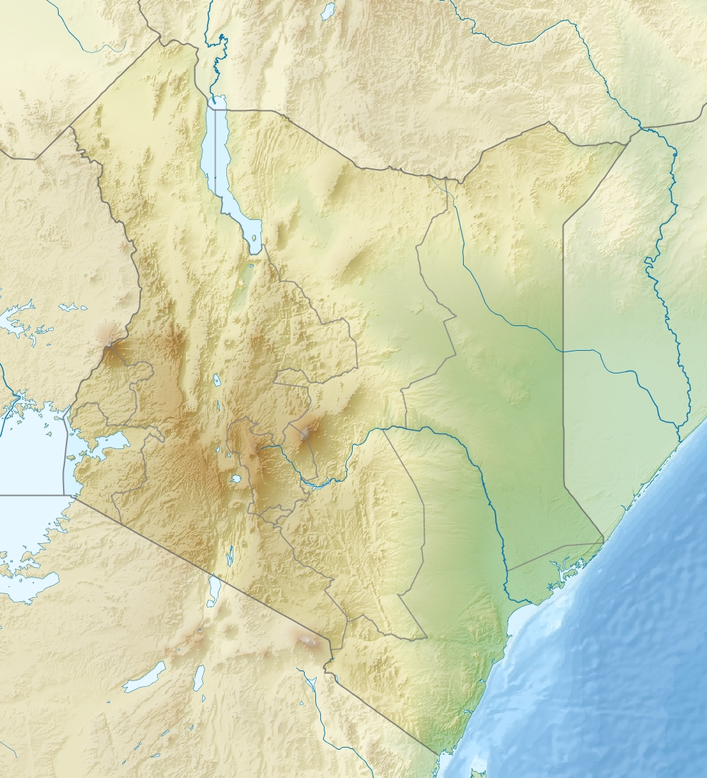
Wasini liegt südöstlich des kenianischen Festlandes im Indischen Ozean. Die nächstgelegene Stadt auf dem Festland ist Shimone, wohin man von der Insel mit einer Fähre gelangt.[1]
Orte
Die zwei Orte auf der Insel sind Wasini Village im Westen der Insel und Mkwiro im Osten der Insel.[3]
Bevölkerung
Ein Großteil der Bevölkerung gehört der Vumba-Ethnie an. Auf Grund des Tourismus, der die Insel wirtschaftlich attraktiver machte, kamen einige Swahili vom Festland, sodass diese im Jahr 2008 11 % der Bevölkerung ausmachten. Diese Zahl war auf Grund schwächerer Touristenzahlen in den folgenden Jahren rückläufig.[4][3]
Infrastruktur
Auf der Insel gibt es weder Straßen noch Autos. In Wasini Village gibt es eine Grundschule und einen kleinen Hafen, von dem aus die Fähre nach Shimone ablegt.[1][3]
Wirtschaft
Ein großer Teil der Bevölkerung ist in der Fischerei tätig, die hauptsächlich aus dem Fang von Meerbarben, Papageifischen, Rochen, Sebastes, Oktopussen, Hummern, Doktorfischen und Krabben besteht. Wasini Island zieht auch Touristen an, wobei die wichtigste Attraktion der Kisite-Mpunguti Marine National Park ist. Außerdem können Touristen schnorcheln und an Delfintouren teilnehmen.[3][5]
Einzelnachweise
- Google Maps. Abgerufen am 18. Februar 2018.
- Wasini Island, Kenya - Geographical Names, map, geographic coordinates. Abgerufen am 18. Februar 2018.
- Shimone / Wasini Island Community Profile – SPACES. Abgerufen am 18. Februar 2018.
- Ferdinand Paesler: Regionalentwicklung und Mensch-Umwelt-Interaktion: Zwei Fallbeispiele aus Kenia und der Demokratischen Republik Kongo. Würzburg University Press, Würzburg.
- Delfintour und schnorcheln bei Wasini Island. Abgerufen am 18. Februar 2018 (deutsch).
На других языках
- [de] Wasini Island
[en] Wasini Island
Wasini Island lies in southeast Kenya 3 kilometres (1.9 mi) off the coast of the Indian Ocean, 75 kilometres (47 mi) south of Mombasa, and 3 kilometres (1.9 mi) opposite the harbour of the village Shimoni.[1] It is approximately 7 kilometres (4.3 mi) long and 3 kilometres (1.9 mi) across. the name "wasini mpunguti" came from the early inhabitants who originally were the Chinese they were short Chinese, hence the name wasini mpunguti which to the locals, means short Chinese. The island has only footpaths of sharp old coral or sand. There are no cars, carts or bicycles. Cargo is transported by foot or by a wheelbarrow with a solid tyre. Transport is over the paths, or via the beaches, mainly consisting of coral and only passable with low tide, or by boat over the sea. Before 1963, in the British colonial time, there was an airstrip in the lagoon situated longitudinal south on the island; only small parts of tarmac are reminders of this history.[fr] Wasini
L'île de Wasini se situe dans l'Océan Indien en près de la côte sud du Kenya, près de Shimoni et du parc marin national de Kisite-Mpunguti et possède une barrière de corail exposée. Elle mesure 5 km sur 1 km de large.Другой контент может иметь иную лицензию. Перед использованием материалов сайта WikiSort.org внимательно изучите правила лицензирования конкретных элементов наполнения сайта.
WikiSort.org - проект по пересортировке и дополнению контента Википедии