geo.wikisort.org - Insel
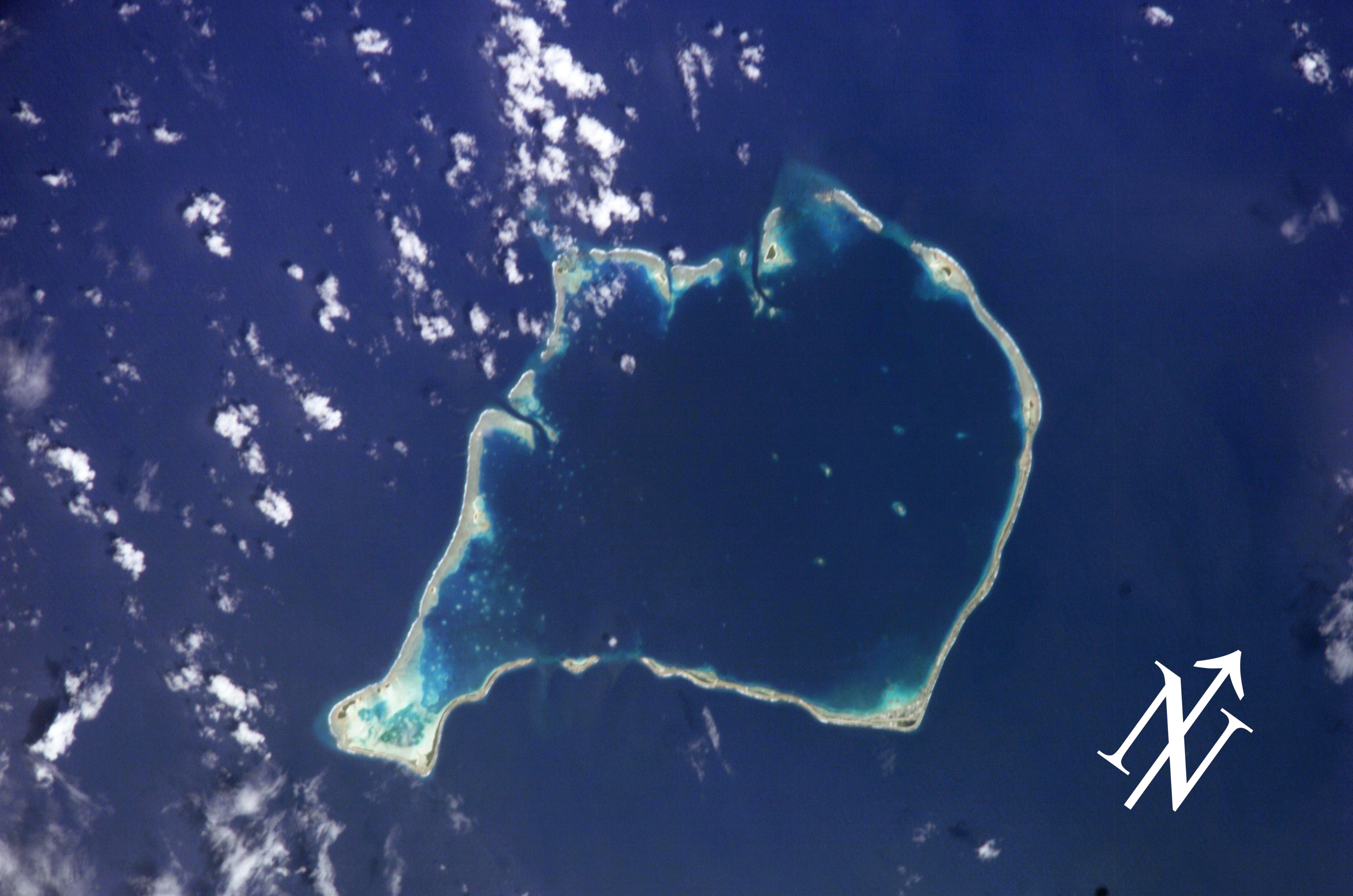
Motuloa ist eine winzige langgezogene Riffinsel im südlichsten Riffsaum des Atolls Funafuti, Tuvalu.[1][2]
| Motuloa | ||
|---|---|---|
 | ||
| Gewässer | Pazifischer Ozean | |
| Inselgruppe | Funafuti | |
| Geographische Lage | 8° 38′ S, 179° 5′ O | |
| ||

Geographie
Die Insel bildet die Südwestspitze des Riffsaums. Die nächstgelegenen Motu sind Motugie im Westen und Telele im Osten.[3]
Einzelnachweise
- Landkarte bei Tuvaluislands.com.
- Sailing directions for the Pacific islands, Volume 3. United States Hydrographic Office, 1952, S. 287.
- Motuloa bei geonames.org.
На других языках
- [de] Motuloa (Funafuti)
[en] Motuloa (Funafuti)
Motuloa is an islet in the atoll of Funafuti,[1] Tuvalu.[2] Motu loa means long island.[3] It lies on the southeastern rim of the atoll and is 800m long northeast–southwest, but only 50m wide. It is only about 25m southwest of Telele and can be reached by foot from it during low tide. The islet is densely vegetated.Текст в блоке "Читать" взят с сайта "Википедия" и доступен по лицензии Creative Commons Attribution-ShareAlike; в отдельных случаях могут действовать дополнительные условия.
Другой контент может иметь иную лицензию. Перед использованием материалов сайта WikiSort.org внимательно изучите правила лицензирования конкретных элементов наполнения сайта.
Другой контент может иметь иную лицензию. Перед использованием материалов сайта WikiSort.org внимательно изучите правила лицензирования конкретных элементов наполнения сайта.
2019-2026
WikiSort.org - проект по пересортировке и дополнению контента Википедии
WikiSort.org - проект по пересортировке и дополнению контента Википедии