geo.wikisort.org - Insel
Chauve Souris (dt.: Fledermaus) ist eine Insel der Republik der Seychellen, nur wenige hundert Meter südwestlich der Hauptinsel Mahé.
| Chauve Souris | ||
|---|---|---|
| Gewässer | Indischer Ozean | |
| Inselgruppe | Seychellen | |
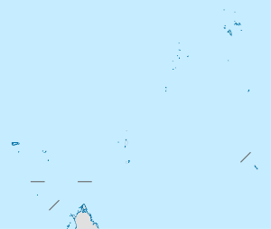
| Geographische Lage | 4° 44′ 20″ S, 55° 27′ 48″ O | |
| ||
| Länge | 50 m | |
| Breite | 50 m | |
| Fläche | 0,3 ha | |
| Höchste Erhebung | 9 m | |
 | ||
Geographie
Die kleine Granit-Insel am Ausgang der Anse La Mouche ist dicht bewachsen.[1] Sie gehört zum Distrikt Baie Lazare.
Weblinks
Einzelnachweise
- Chauve Souris Island bei GeoNames, geonames.org 2020-05-15.
На других языках
- [de] Chauve Souris (Mahé)
[en] Chauve Souris, Mahé
Chauve Souris is an island in Seychelles, lying 400 m west of Anse La Mouche on the island of Mahé. The island is a rocky granite island covered with tropical forest. There is also a Chauve Souris island near the northern coast of the island of Praslin.Текст в блоке "Читать" взят с сайта "Википедия" и доступен по лицензии Creative Commons Attribution-ShareAlike; в отдельных случаях могут действовать дополнительные условия.
Другой контент может иметь иную лицензию. Перед использованием материалов сайта WikiSort.org внимательно изучите правила лицензирования конкретных элементов наполнения сайта.
Другой контент может иметь иную лицензию. Перед использованием материалов сайта WikiSort.org внимательно изучите правила лицензирования конкретных элементов наполнения сайта.
2019-2026
WikiSort.org - проект по пересортировке и дополнению контента Википедии
WikiSort.org - проект по пересортировке и дополнению контента Википедии