geo.wikisort.org - Coast
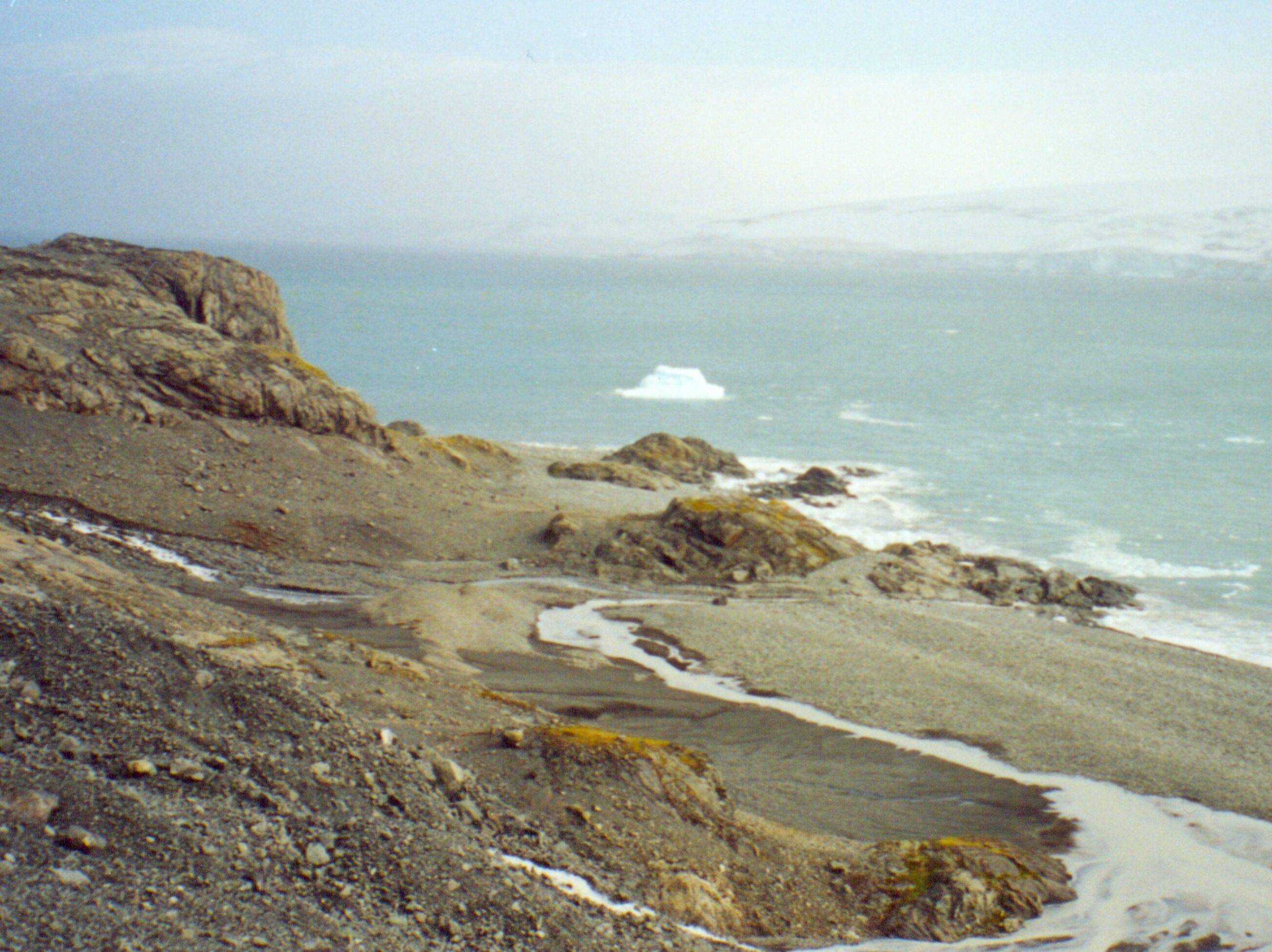
Spanish Point (Nos Española \'nos e-spa-'nyo-la\) is located on Bulgarian Beach on Hurd Peninsula, eastern Livingston Island in the South Shetland Islands, Antarctica formed by an offshoot of Spanish Knoll.


The name was given in recognition of key Spanish logistic support for the Bulgarian Antarctic programme.
Location
The point is located at 62°38′07″S 60°21′25″W, which is 610 m north-northeast of Sinemorets Hill, 1.34 km northeast of Hespérides Point and 4.06 km east-southeast of Smolyan Point. (British mapping in 1968, Spanish in 1991, and Bulgarian in 1996 and 2005. Co-ordinates, elevation and distances given according to a 1995-96 Bulgarian topographic survey).
Maps
- South Shetland Islands. Scale 1:200000 topographic map. DOS 610 Sheet W 62 60. Tolworth, UK, 1968.
- Islas Livingston y Decepción. Mapa topográfico a escala 1:100000. Madrid: Servicio Geográfico del Ejército, 1991.
- Isla Livingston: Península Hurd. Mapa topográfico de escala 1:25000. Madrid: Servicio Geográfico del Ejército, 1991. (Map reproduced on p. 16 of the linked work)
- L.L. Ivanov. Livingston Island: Central-Eastern Region. Scale 1:25000 topographic map. Sofia: Antarctic Place-names Commission of Bulgaria, 1996.
- L.L. Ivanov et al., Antarctica: Livingston Island and Greenwich Island, South Shetland Islands (from English Strait to Morton Strait, with illustrations and ice-cover distribution), 1:100000 scale topographic map, Antarctic Place-names Commission of Bulgaria, Sofia, 2005
- L.L. Ivanov. Antarctica: Livingston Island and Greenwich, Robert, Snow and Smith Islands. Scale 1:120000 topographic map. Troyan: Manfred Wörner Foundation, 2010. ISBN 978-954-92032-9-5 (First edition 2009. ISBN 978-954-92032-6-4)
- Antarctica, South Shetland Islands, Livingston Island: Bulgarian Antarctic Base. Sheets 1 and 2. Scale 1:2000 topographic map. Geodesy, Cartography and Cadastre Agency, 2016. (in Bulgarian)
- Antarctic Digital Database (ADD). Scale 1:250000 topographic map of Antarctica. Scientific Committee on Antarctic Research (SCAR). Since 1993, regularly upgraded and updated.
- L.L. Ivanov. Antarctica: Livingston Island and Smith Island. Scale 1:100000 topographic map. Manfred Wörner Foundation, 2017. ISBN 978-619-90008-3-0
References
- Spanish Point. SCAR Composite Antarctic Gazetteer
- Bulgarian Antarctic Gazetteer. Antarctic Place-names Commission. (details in Bulgarian, basic data in English)
External links
- Spanish Point. Copernix satellite image
This article includes information from the Antarctic Place-names Commission of Bulgaria which is used with permission.
This Livingston Island location article is a stub. You can help Wikipedia by expanding it. |
На других языках
[de] Spanish Point
Der Spanish Point (englisch; bulgarisch нос Еспаньола .mw-parser-output .Latn{font-family:"Akzidenz Grotesk","Arial","Avant Garde Gothic","Calibri","Futura","Geneva","Gill Sans","Helvetica","Lucida Grande","Lucida Sans Unicode","Lucida Grande","Stone Sans","Tahoma","Trebuchet","Univers","Verdana"}nos Espanjola) ist ein Felsenkap an der Küste der South Bay und 2 km südlich des Aleko Rock im Süden der zu den Südlichen Shetlandinseln gehörenden Livingston-Insel.- [en] Spanish Point (Antarctica)
Другой контент может иметь иную лицензию. Перед использованием материалов сайта WikiSort.org внимательно изучите правила лицензирования конкретных элементов наполнения сайта.
WikiSort.org - проект по пересортировке и дополнению контента Википедии