geo.wikisort.org - Coast
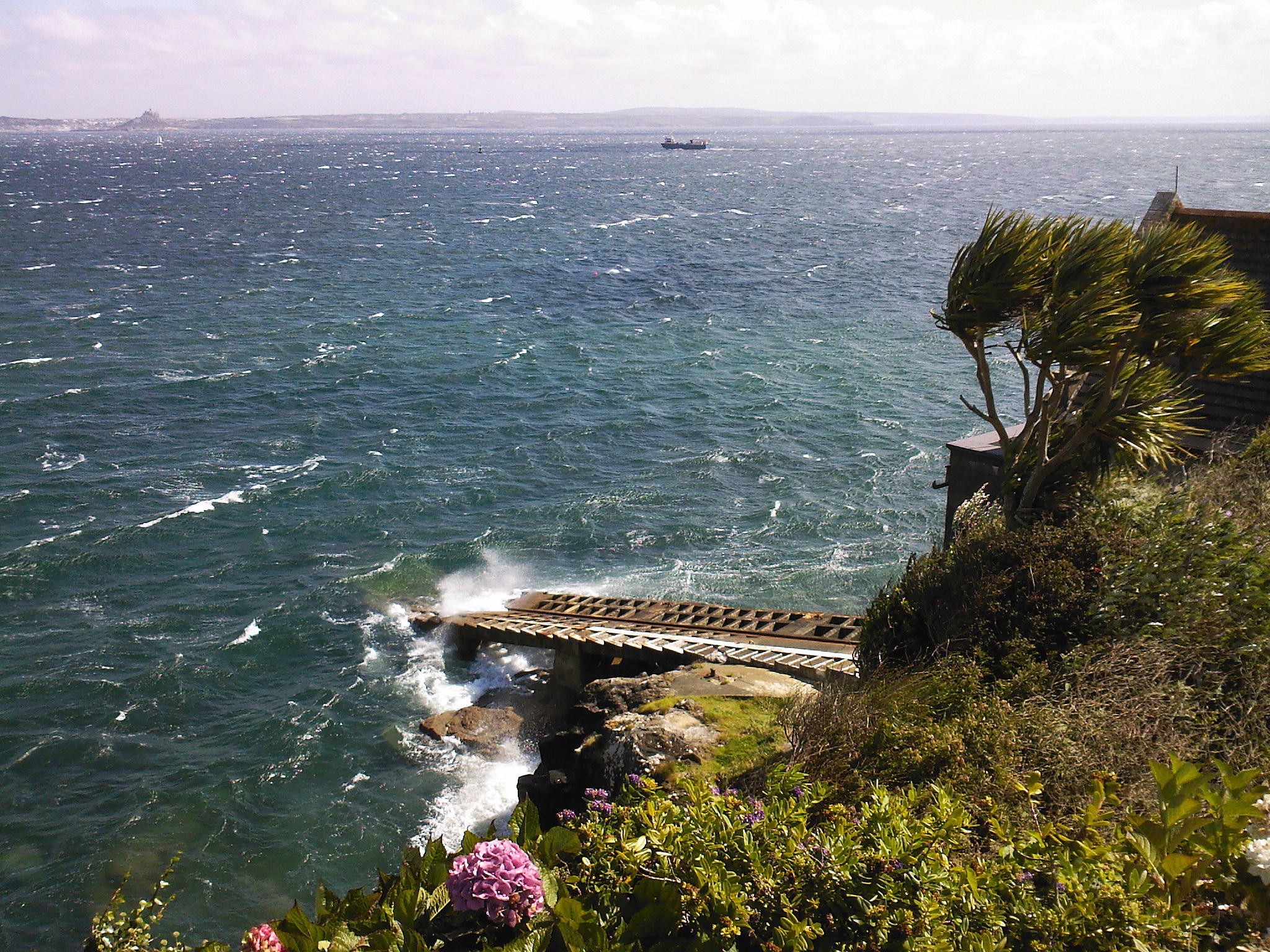
Penlee Point (Cornish: Penn Legh, meaning ‘stone-slab headland’) is a promontory near the coastal fishing village of Mousehole in west Cornwall, England, UK.[1] It was the launching point of the Penlee lifeboat, which was lost in the disaster of 1981.
Penlee Point | |
|---|---|
 Lifeboat Station slipway | |
| Coordinates: 50°05′17″N 5°31′55″W | |
| Location | Mousehole, Cornwall, England, UK |
In 1883, Mr J Runnalls employed seventy people at the Penlee quarries and stone-mills. The stone was wholly used for road-making and was claimed to be one of the most durable available. On one square inch of stone, it took a pressure of 29.011 lbs to crush the stone and on one square foot, it took 1365 tons. Stone was exported to Welsh ports instead of ballast and to Bristol, Ipswich, London and Lowestoft for roads. Stone to London was taken weekly by steamer from Penzance and by sailing vessels from Mousehole.[2]
In 1990 Penlee Point was designated a Site of Special Scientific Interest for its geological interest. The SSSI includes two small disused quarries as well as the cliff and foreshore.[3][4]
See also
- Penlee Point, Rame
- Penlee Quarry railway
References
- Ordnance Survey One-inch Map of Great Britain; Land's End, sheet 189. 1961
- Ouit (9 August 1883). "The Industries of Penzance and its Neighbourhood. No XII. Quarries, Stone-mills, etc". The Cornishman. No. 265. p. 7.
- "Penlee Point SSSI". Natural England. Retrieved 29 August 2019.
- "Penlee Point" (PDF). Natural England. 1990. Archived from the original (PDF) on 24 October 2012. Retrieved 27 October 2011.
Cornwall Portal | |
| Unitary authorities |
|
| Major settlements |
|
| Rivers | |
| Topics |
|
This article about a Site of Special Scientific Interest in England is a stub. You can help Wikipedia by expanding it. |
This article about a location in the former district of Penwith, Cornwall is a stub. You can help Wikipedia by expanding it. |
Другой контент может иметь иную лицензию. Перед использованием материалов сайта WikiSort.org внимательно изучите правила лицензирования конкретных элементов наполнения сайта.
WikiSort.org - проект по пересортировке и дополнению контента Википедии