geo.wikisort.org - Coast
Holloways Beach is a suburb of Cairns in the Cairns Region, Queensland, Australia.[2] In the 2016 census, Holloways Beach had a population of 2,347 people.[1]
| Holloways Beach Cairns, Queensland | |||||||||||||||
|---|---|---|---|---|---|---|---|---|---|---|---|---|---|---|---|
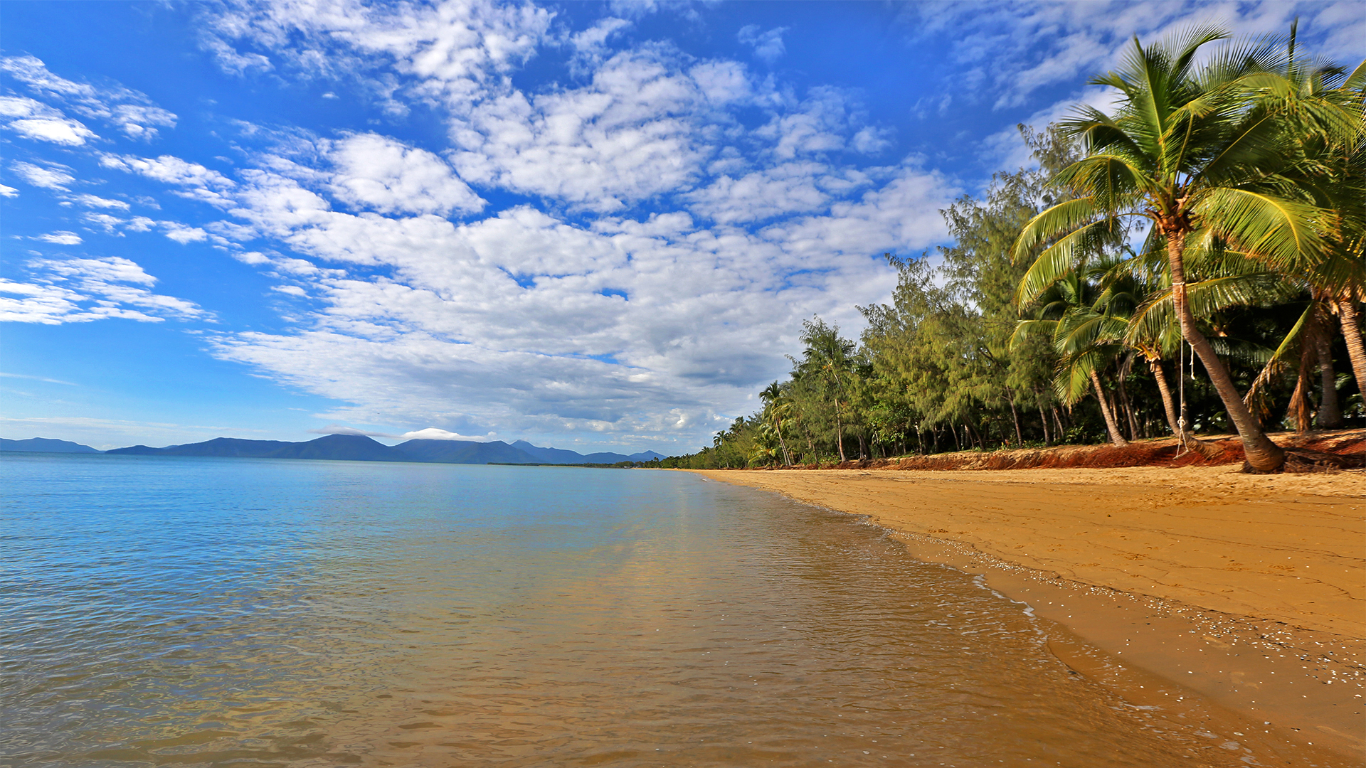 Holloways Beach | |||||||||||||||
 Holloways Beach | |||||||||||||||
| Coordinates | 16.8383°S 145.7319°E | ||||||||||||||
| Population | 2,347 (2016 census)[1] | ||||||||||||||
| • Density | 297.1/km2 (769/sq mi) | ||||||||||||||
| Postcode(s) | 4878 | ||||||||||||||
| Area | 7.9 km2 (3.1 sq mi) | ||||||||||||||
| Time zone | AEST (UTC+10:00) | ||||||||||||||
| Location |
| ||||||||||||||
| LGA(s) | Cairns Region | ||||||||||||||
| State electorate(s) | Barron River | ||||||||||||||
| Federal division(s) | Leichhardt | ||||||||||||||
| |||||||||||||||
The town of Holloway Beach (note the different spelling) is within the suburb (16.8333°S 145.7333°E).[3]
Geography

Holloways Beach is a 12 minutes drive north of the centre of Cairns City.
The south west of the suburb is bounded by the Captain Cook Highway. In the east close to the beach the land-use is mostly residential while the west is predominantly farms.
History
Holloways Beach is situated in the Djabugay (Tjapukai) traditional Aboriginal country. [4]
Richard Holloway came to Cairns in 1910 and was farming in the area in 1926. The area was officially named Holloway in 1951, renamed Holloway Beach in 1971 and then Holloways Beach in 1981. In 2002, the area was gazetted as a suburb of Cairns rather than as a rural locality.[2]
Land was acquired in October 1951 for a school.[5] However, in December 1951, a school bus service was established to take the students to Cairns Intermediate School and Cairns North State School.[6] In October 1954, the Queensland Government allocated £2341 to relocate Woree's school buildings to Holloway's Beach and then repair and repaint the buildings.[7] Holloway's Beach State School opened on 23 May 1955. It closed on 13 June 1966.[8]
In the 2016 census, Holloways Beach had a population of 2,347 people.[1]
Education
School children now attend Machans Beach State School or other schools further away and Holloways Beach is in the catchment area for Cairns High School.[9]
Amenities

The beach has a lifeguard for much of the year. There are a number of restaurants, including 2 coffee shops with one on the beach, a pizza shop and bottle shop. Other amenities include an excellent convenience store, and a launderette.
There is a boat ramp into Richters Creek on the northern boundary of the suburb at Acacia Street.[10] There are warning signs about crocodiles near the boat ramp.
References
- Australian Bureau of Statistics (27 June 2017). "Holloways Beach (SSC)". 2016 Census QuickStats. Retrieved 20 October 2018.
- "Holloways Beach – suburb in Cairns Region (entry 48672)". Queensland Place Names. Queensland Government. Retrieved 19 July 2021.
- "Holloway Beach – town in Cairns Region (entry 16003)". Queensland Place Names. Queensland Government. Retrieved 29 November 2019.
- "First people cultural history". Cairns Regional Council. Archived from the original on 9 April 2020. Retrieved 23 June 2020.
- "HOLLOWAY'S BEACH TO HAVE SCHOOL". Cairns Post. No. 15, 476. Queensland, Australia. 15 October 1951. p. 5. Archived from the original on 21 June 2022. Retrieved 6 May 2018 – via National Library of Australia.
- "CHILDREN'S BUS SERVICE". Cairns Post. No. 15, 523. Queensland, Australia. 8 December 1951. p. 5. Archived from the original on 18 December 2021. Retrieved 6 May 2018 – via National Library of Australia.
- "NORTHERN LOANS AND WORKS". Cairns Post. No. 16, 410. Queensland, Australia. 15 October 1954. p. 7. Archived from the original on 18 December 2021. Retrieved 6 May 2018 – via National Library of Australia.
- Queensland Family History Society (2010), Queensland schools past and present (Version 1.01 ed.), Queensland Family History Society, ISBN 978-1-921171-26-0
- "School catchment maps". Department of Education. Queensland Government. Archived from the original on 21 January 2018. Retrieved 23 May 2018.
- "Boating facilities in Queensland listed by district and local government area" (PDF). Queensland Government. 28 November 2016. p. 1. Archived (PDF) from the original on 23 February 2017. Retrieved 7 May 2018.
External links
- "Holloways Beach". Queensland Places. Centre for the Government of Queensland, University of Queensland.
Другой контент может иметь иную лицензию. Перед использованием материалов сайта WikiSort.org внимательно изучите правила лицензирования конкретных элементов наполнения сайта.
WikiSort.org - проект по пересортировке и дополнению контента Википедии