geo.wikisort.org - Coast
Estero Island is an island located in Lee County, Florida, on the Gulf coast of Southwest Florida. It is bordered by San Carlos Island to the north and Big Carlos Pass to the south. The Matanzas Pass Bridge is on the northern end of the island and connects Estero Island over Matanzas Pass to San Carlos Island. The Big Carlos Bridge (part of the Bonita Beach Causeway) connects the southern end of the island to Black Island (the northern limit of the city of Bonita Springs).
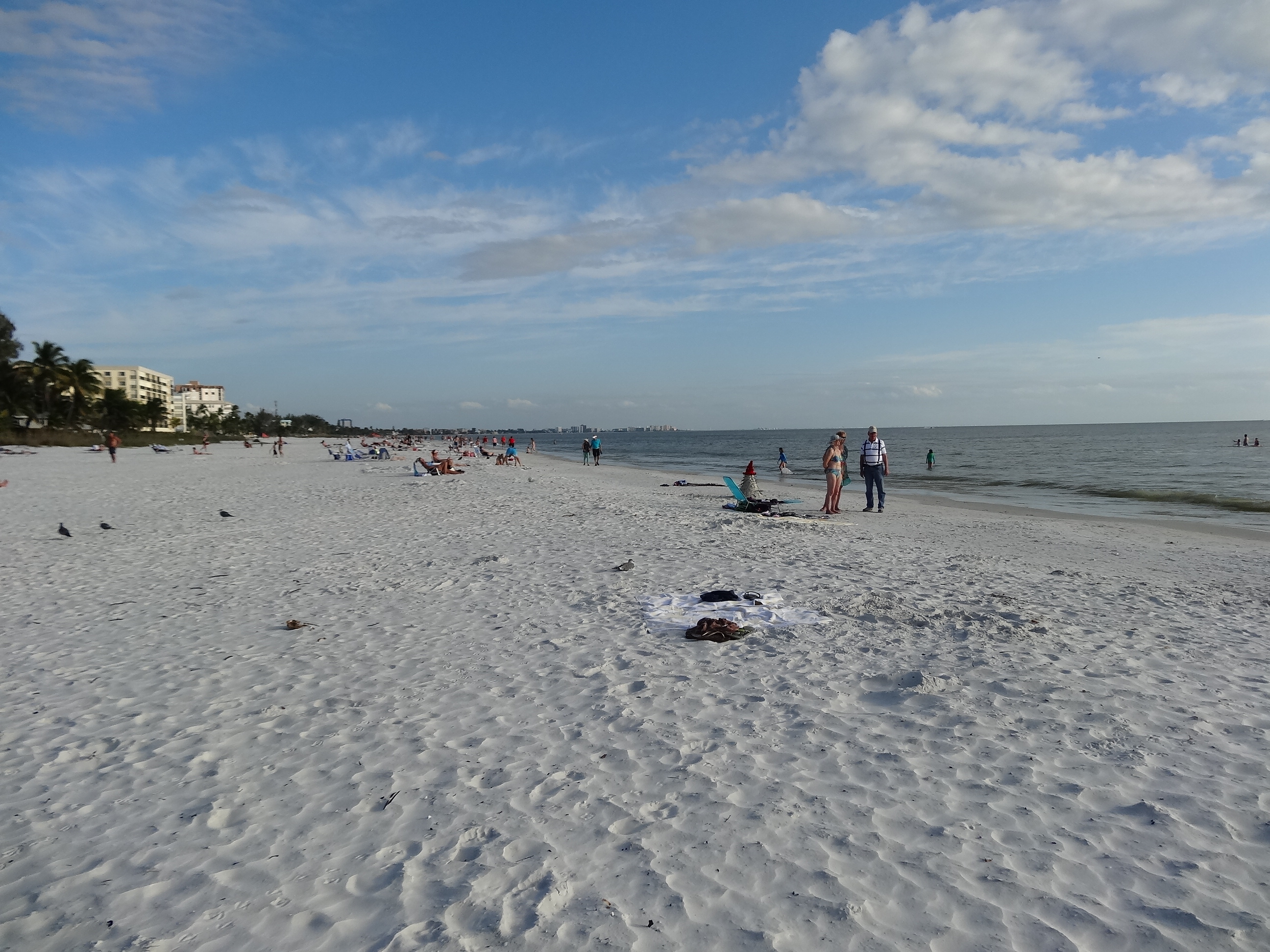 Estero Island Beach | |
 Estero Island Estero Island  Estero Island Estero Island (Caribbean) | |
| Geography | |
|---|---|
| Location | Lee County, Florida |
| Coordinates | 26°26′12″N 81°55′13″W |
| Adjacent bodies of water | Gulf of Mexico |
| Administration | |
| State | Florida |
| County | Lee |
Communities
The island is part of the town of Fort Myers Beach.
References
Wikimedia Commons has media related to Estero Island.
External links
Wikivoyage has a travel guide for Estero Island.
Authority control | |
|---|---|
| General |
|
| National libraries | |
| Other | |
На других языках
[de] Estero Island
Estero Island ist eine rund 10 km lange, schmale Barriereinsel in Florida, die Fort Myers vorgelagert ist.- [en] Estero Island
Текст в блоке "Читать" взят с сайта "Википедия" и доступен по лицензии Creative Commons Attribution-ShareAlike; в отдельных случаях могут действовать дополнительные условия.
Другой контент может иметь иную лицензию. Перед использованием материалов сайта WikiSort.org внимательно изучите правила лицензирования конкретных элементов наполнения сайта.
Другой контент может иметь иную лицензию. Перед использованием материалов сайта WikiSort.org внимательно изучите правила лицензирования конкретных элементов наполнения сайта.
2019-2026
WikiSort.org - проект по пересортировке и дополнению контента Википедии
WikiSort.org - проект по пересортировке и дополнению контента Википедии