geo.wikisort.org - Coast
Dengie is a peninsula in Essex, England, that once formed a hundred of the same name (sometimes spelled Dengy).
The peninsula is formed by the River Crouch to the south, the Blackwater to the north, both of which are tidal, and the North Sea to the east. The eastern part of the peninsula is marshy and forms the Dengie Marshes.
The western boundary of Dengie hundred ran from North Fambridge to a bit west of Maldon. The peninsula forms about half of the Maldon local government district.
Places on the peninsula are:
- Althorne
- Asheldham
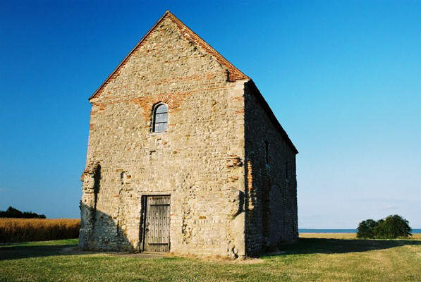
- Bradwell-on-Sea
- Bradwell Waterside
- Burnham-on-Crouch
- Cold Norton
- Creeksea
- Dengie (village)
- Hazeleigh
- Langford
- Latchingdon
- Maldon
- Mayland
- Maylandsea
- Mundon
- North Fambridge
- Ostend
- Purleigh
- Ramsey Island
- Snoreham
- Southminster
- Steeple
- Stow Maries
- St Lawrence Bay
- Tillingham
- Woodham Mortimer
- Woodham Walter
Farming on the Dengie Peninsula
The soil on the Dengie Peninsula is very rich. The area usually has mild winters.
The Dengie Peninsula is home to some of the oldest and largest vineyards in the UK, including:
See also
- Dengie SPA
References
- "Vineyard predicts fruitful future". BBC News. 6 October 2009. Retrieved 18 March 2017.
- Hardwick, Ian (28 February 2014). "A February Foray to New Hall Vineyard". English Wine Lovers. Retrieved 18 March 2017.
External links
- Photographs of the Dengie Hundred
- Information and photographs of the villages of the Dengie Hundred
- Information and photographs of Burnham on Crouch which is the main town of the Dengie Hundred
- The local magazine for Burnham-on-Crouch and the Dengie Hundred villages
- The history of the Dengie Hundred
- Photographs of the Dengie Peninsula at geograph.org.uk
- Bellringing on the Dengie Peninsula
На других языках
[de] Dengie-Halbinsel
Die Dengie-Halbinsel ist eine nach dem Ort Dengie benannte und von den Flüssen Crouch (im Süden) und Blackwater (im Norden) begrenzte Halbinsel im Osten der englischen Grafschaft Essex; östlich davon befindet sich die Nordsee. Verwaltungsmäßig gehört die Halbinsel zum District Maldon.- [en] Dengie Peninsula
Текст в блоке "Читать" взят с сайта "Википедия" и доступен по лицензии Creative Commons Attribution-ShareAlike; в отдельных случаях могут действовать дополнительные условия.
Другой контент может иметь иную лицензию. Перед использованием материалов сайта WikiSort.org внимательно изучите правила лицензирования конкретных элементов наполнения сайта.
Другой контент может иметь иную лицензию. Перед использованием материалов сайта WikiSort.org внимательно изучите правила лицензирования конкретных элементов наполнения сайта.
2019-2026
WikiSort.org - проект по пересортировке и дополнению контента Википедии
WikiSort.org - проект по пересортировке и дополнению контента Википедии