geo.wikisort.org - Coast
Curanipe (in mapudungun: "plum tree that grows in the rock") is a town and seat of the municipality of Pelluhue, Province of Cauquenes, in VII Maule Region of Chile.
This article may be expanded with text translated from the corresponding article in Spanish. (February 2010) Click [show] for important translation instructions.
|
Curanipe | |
|---|---|
 Plaza de Curanipe | |
| Coordinates: 35°50′39″S 72°38′3″W | |
| Country | Chile |
| Region | Maule |
| Province | Cauquenes |
| Commune | Pelluhue |
| Named for | "Black stone" in Mapudungun |
| Elevation | 24 m (79 ft) |
| Time zone | UTC-4 |
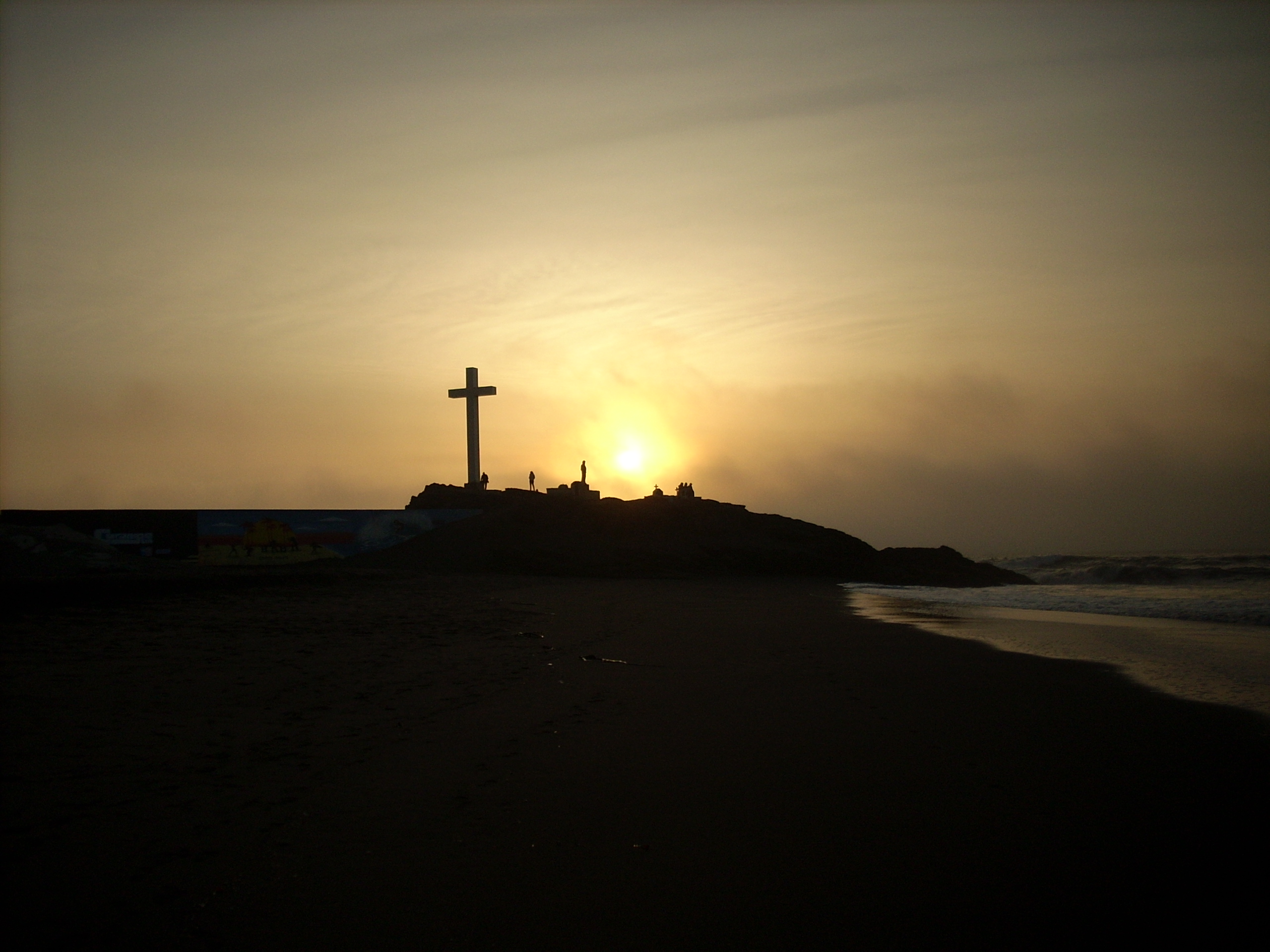
A popular and charming coastal resort, Curanipe used to be a well-known and secluded hangout for the Cauquenes elite and a proud regional "minor port", during the mid- and late 19th century. The town has a quaint architectural style that echoes the colonial rural architecture of Chile.
The Curanipe parish church of Santo Toribio, is a beautifully preserved religious building overlooking the town.
On 27 February 2010 at 06:34:14 GMT (03:34:14 AM local time), a magnitude 8.8 earthquake struck the seafloor 7 miles (11 km) southwest of Curanipe.[1]
References
- USGS 8.8 Earthquake in Chile Archived March 2, 2010, at the Wayback Machine
Текст в блоке "Читать" взят с сайта "Википедия" и доступен по лицензии Creative Commons Attribution-ShareAlike; в отдельных случаях могут действовать дополнительные условия.
Другой контент может иметь иную лицензию. Перед использованием материалов сайта WikiSort.org внимательно изучите правила лицензирования конкретных элементов наполнения сайта.
Другой контент может иметь иную лицензию. Перед использованием материалов сайта WikiSort.org внимательно изучите правила лицензирования конкретных элементов наполнения сайта.
2019-2026
WikiSort.org - проект по пересортировке и дополнению контента Википедии
WikiSort.org - проект по пересортировке и дополнению контента Википедии