geo.wikisort.org - Coast
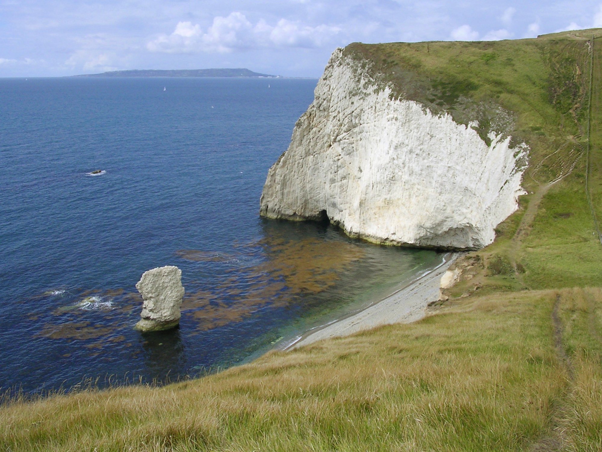
Bat's Head is a chalk headland on the Dorset coast in southern England, located between Swyre Head and Durdle Door to the east, and Chaldon Hill and White Nothe to the west.[1][2] At the base of the headland is the small Bat's Cave.

References
- Ordnance Survey: Landranger map sheet 194 Dorchester & Weymouth (Cerne Abbas & Bere Regis) (Map). Ordnance Survey. 2014. ISBN 9780319232132.
- "Ordnance Survey: 1:50,000 Scale Gazetteer" (csv (download)). www.ordnancesurvey.co.uk. Ordnance Survey. 1 January 2016. Retrieved 30 January 2016.
External links
This Dorset location article is a stub. You can help Wikipedia by expanding it. |
Текст в блоке "Читать" взят с сайта "Википедия" и доступен по лицензии Creative Commons Attribution-ShareAlike; в отдельных случаях могут действовать дополнительные условия.
Другой контент может иметь иную лицензию. Перед использованием материалов сайта WikiSort.org внимательно изучите правила лицензирования конкретных элементов наполнения сайта.
Другой контент может иметь иную лицензию. Перед использованием материалов сайта WikiSort.org внимательно изучите правила лицензирования конкретных элементов наполнения сайта.
2019-2026
WikiSort.org - проект по пересортировке и дополнению контента Википедии
WikiSort.org - проект по пересортировке и дополнению контента Википедии