geo.wikisort.org - Coast
Anna Maria Island, is a barrier island on the coast of Manatee County, Florida, in the United States. It is bounded on the west by the Gulf of Mexico, on the south by Longboat Pass (which separates it from Longboat Key), on the east by Anna Maria Sound, and on the north by Tampa Bay. Anna Maria Island is approximately 7 miles (11 km) long north to south.
 Dune by the north of Anna Maria Island | |
 Anna Maria Island Location in United States of America  Anna Maria Island Anna Maria Island (Florida) | |
| Geography | |
|---|---|
| Location | Gulf of Mexico |
| Coordinates | 27°30′47″N 82°43′08″W |
| Administration | |
United States | |
| State | Florida |
| County | Manatee |
History
Anna Maria Island was part of the Safety Harbor culture area for many centuries before the arrival of Europeans in Florida. Both the Narvaez expedition, in 1527, and the Hernando de Soto expedition, in 1539, entered the mouth of Tampa Bay, north of Anna Maria Island, passing the island by to make their landfall on the mainland.
Anna Maria Island was first settled in the mid-nineteenth century by Confederate Deputy Marshall and Tampa Mayor Madison Post who then named the island for his wife Maria and his sister-in-law Anna. As Cuban fishermen were the first visitors to the island at the southern mouth of Tampa Bay, the settlement was very soon dominated by nautical types.[1]
In 1892, George Emerson Bean became the first permanent resident on the Island, homesteading much of what is now the City of Anna Maria. After Bean's death in 1898, the land's ownership transferred to his son, George Wilhelm Bean, who partnered with Charles Roser, a wealthy real estate developer from St. Petersburg, to form the Anna Maria Beach Company in order to develop the area. The company laid out streets, built sidewalks and houses, and installed a water system.[2]

In 1921, actor Paul Gilmore purchased 40 acres (160,000 m2) of land where present day Coquina Beach is, with the intent to build a film colony named Paul Gilmore’s Oriental Film City, later renamed Gil-Mor Isle. He did get one movie to be filmed here by Character Picture Corporation, The Isle of Destiny with Gilmore himself appearing in the movie. However, the movie was unsuccessful, never getting national distribution. Gilmore had no luck with getting other movies filmed there, and later the Florida land boom crashed.[3][4]
The first bridge that was built to connect Anna Maria Island to mainland Florida began construction in the summer of 1921. A heavy storm wiped out half the bridge, but construction was able to continue. The bridge was finished as scheduled in 1922. It crossed the bay to what now is Bridge Street in Bradenton Beach to the fishing town of Cortez. More people then began to visit the island, which caught the interest of several businessmen.[5]
Holmes Beach is a planned community that was started by John E. Holmes, Sr. after World War II and was named after him.[6] Holmes Beach would be incorporated on March 13, 1950 after a meeting was held about incorporating the community. 46 would vote in favor, 13 voted against incorporation while 1 person voted to abstain. Despite a request being made to not use a name, Holmes Beach was decided on. Names that were proposed for Holmes Beach were: Palm City, Mid-Island Beach, Coquina Beach and Tarpon Beach.[7] Bradenton Beach would be incorporated the following year on December 21, 1951 after voting 84-56 to be a city.[8]
Name origin
Legend states that "a Spanish explorer" named the place "Ana Maria Cay" in honor of the Virgin Mary and her mother, Ann.[9]
A common myth reported that Ponce de León (died 1521) named the island for Maria Anna von der Pfalz-Neuburg (born 1667), the queen of Charles II of Spain (born 1661), the sponsor of his expedition.
In the past, pronunciation of the name differed: old timers said "Anna Mar-EYE-a," but most people today say "Anna Mar-EE-a".[10]
Geography
Fauna

From May through October in Florida, sea turtles come ashore to nest.[11]
The island is a bird sanctuary. There are pelicans, multiple types of cranes, herons, feral parrots, sandpipers, osprey, hawks, vultures, seagulls, crows, and a nesting pair of bald eagles. Bottlenose dolphins are in the Intracoastal Waterway, the Gulf, and Bimini Bay.
There are roseate spoonbills, snowy egrets, and wood storks. Marine animals include redfish, snapper, mackerel, black drum, snook, trout, and amberjack.[9]
Adjacent islands
Adjacent to Anna Maria Island's bayside is the island of Key Royale, formerly known as School Key. It was uninhabited until 1960, when a bridge was built joining it to the Holmes Beach section of Anna Maria Island and development began. It is included in the city limits of Holmes Beach.[12] Longboat Key lies at the very southern edge of the island, connected by the Gulf Drive drawbridge. Just to the east of the drawbridge lies Jewfish Key.
Municipalities
Anna Maria Island today is divided into the three cities of Anna Maria in the north, Holmes Beach in the middle, and Bradenton Beach in the south. In 2005 the United States Census Bureau estimated the combined population of the three cities at approximately 8,500.
Transportation

The main north-south road on the island is Gulf Drive, which begins on the south end of the island at the foot of the Longboat Pass Bridge from Longboat Key. Gulf Drive is the only road that runs the entire length of the island. It is State Road 789 south of Manatee Avenue (State Road 64) in Holmes Beach and Holmes Beach City 789 (a former portion of State Road 64) north of there.
There are two bridges across from the mainland: the Cortez Bridge, which brings State Road 684 into Bradenton Beach from Cortez, and the Anna Maria Island Bridge, which brings State Road 64 into Holmes Beach from the Palma Sola section of Bradenton.
Anna Maria Island is served by a free trolley-style bus that runs north and south on Gulf Drive. The trolley connects with both the MCAT (Manatee County Area Transit) system serving the greater Bradenton area, and the SCAT (Sarasota County Area Transit) system. The MCAT connects to the trolley at Manatee Public Beach, at the intersection of State Road 789 and State Road 64.[13] The SCAT connects to the trolley at Coquina Beach, at the south end of Anna Maria Island, just before the Longboat Key Bridge.[14] Several local taxi companies serve Anna Maria Island.
Anna Maria Island was only accessible by boat until 1921, when the wooden Cortez Bridge was constructed from the fishing village of Cortez to what is now Bridge Street in Bradenton Beach. The remaining parts of the Cortez Bridge are used as a fishing pier.[15]
Economy
Tourism

Since 2002, tourism development has been targeted as a key economic goal by island, county and state officials[16] and millions of tax dollars have been invested to draw visitors to the island with national and international advertising and publicity efforts.[17] This success has not been without its downsides of congested traffic, noise, litter and parking complaints during peak tourist seasons.[18] This influx of visitors has prompted developers to convert many of the original 1950s and 1960s-era houses into short-term rental units, a subject of local controversy.[19]
In media
In 1938 Siam Garden Resort began a fish camp and in 1948, MGM brought Esther Williams, Peter Lawford, Ricardo Montalbán, Jimmy Durante, Cyd Charisse, and Xavier Cugat to Anna Maria Island to film “On an Island with You." In the plot "a beautiful movie star travels to Hawaii and finds romance in this South Seas musical.” Anna Maria Island is featured in the Florida band Shinedown's video for "Second Chance".
Anna Maria Island is the setting for the 2016 comedy/drama, Monty Comes Back, written and directed by Bradenton native Thomas John Nudi.
Longtime resident Kathleen Flinn wrote about her family's abrupt move to the island in the 1970s after her dying father fell in love with the place in her book, Burnt Toast Makes You Sing Good (Penguin Random House).
Notable people
- Wyatt Blassingame, writer[20]
- Georges Simenon, writer
- Fred Hutchinson, former Major League baseball pitcher and manager.
- Kathleen Flinn, author and chef
Gallery
 Late afternoon at Coquina Beach
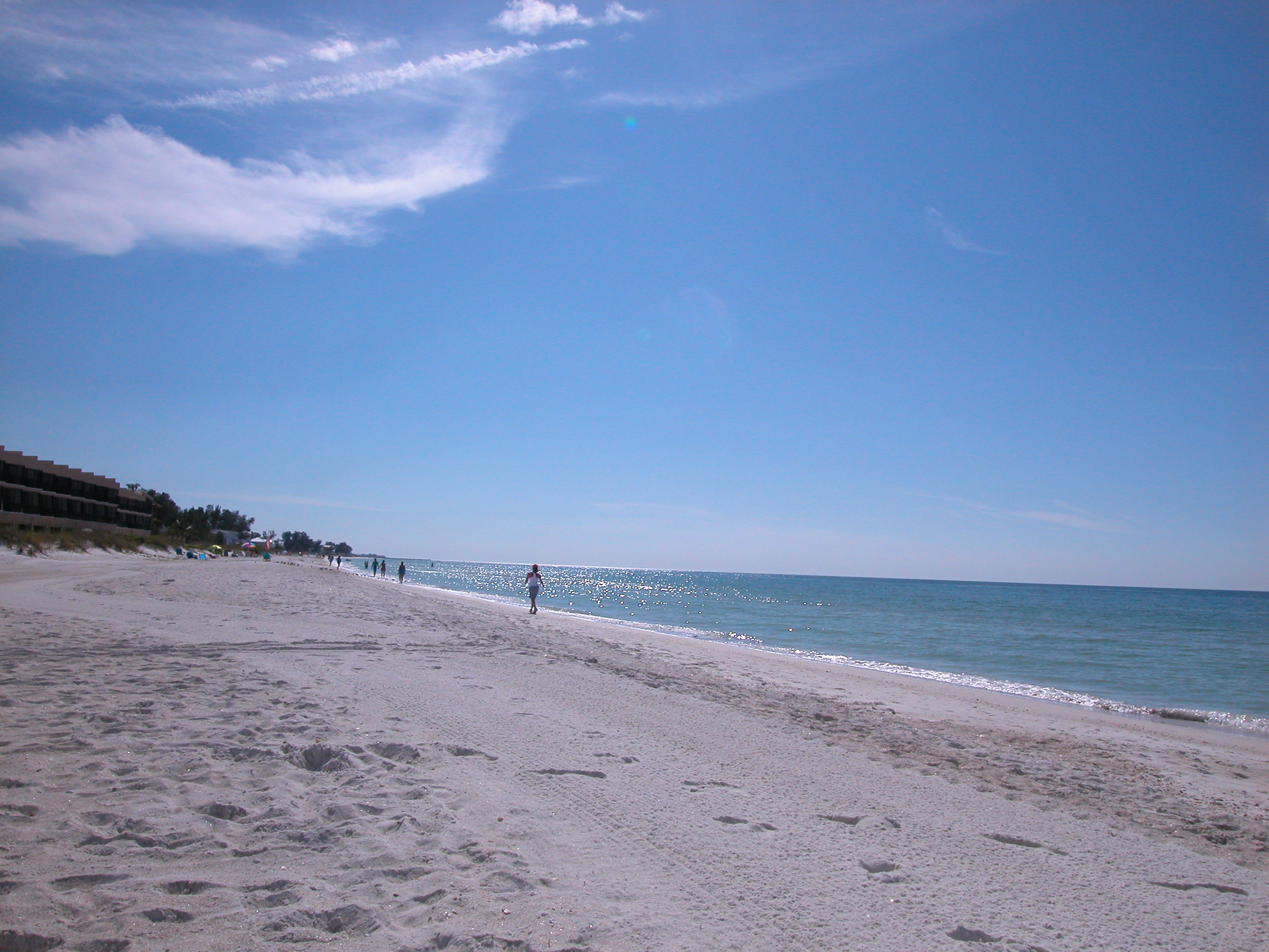
 The view from Holmes Beach looking south.
 One view from the Pier Restaurant looking toward the shore.
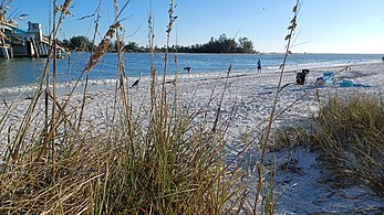 Late afternoon on Coquina Beach looking Southwest


References
- mcbobleonard. "Historical Tour of Anna Maria Island, Florida". floridahistory.org.
- City of Anna Maria Archived November 20, 2015, at the Wayback Machine
- Wurzer, Cathy (2008). Tales of the Road: Highway 61. Minnesota Historical Society. ISBN 978-0-87351-626-6.
- "MCHS-S-0262 Pat Mullins Westview Anna Maria 3". cdm16681.contentdm.oclc.org. Retrieved January 4, 2020.
- "Historical Society in Anna Maria City is a must visit". islandreal.com. March 9, 2009.
- Grimes, David (November 23, 1979). "The Legends Behind Manatee Names". Sarasota Herald-Tribune. pp. 3B. Retrieved August 21, 2021.
- "Back to the future in Holmes Beach". The Islander. April 18, 2011. Archived from the original on July 7, 2011. Retrieved August 21, 2021.
- "The Islander - About Us". The Islander. Archived from the original on September 21, 2010. Retrieved August 21, 2021.
- Conway, Terry (January 15, 2017). "Anna Maria Island". Florida Today. Melbourne, Florida. pp. 21A, 23A. Retrieved January 15, 2017.
- "Name Origins of Florida Places @ Florida OCHP". state.fl.us.
- Anna Maria Island Chamber of Commerce, http://www.annamariaislandchamber.org/list.cfm?cat=47&scat=34 Archived June 21, 2008, at the Wayback Machine
- "City of Holmes Beach, Florida". holmesbeachfl.org.
- Manatee County Area Transit, "Archived copy". Archived from the original on January 1, 2009. Retrieved November 18, 2008.
{{cite web}}: CS1 maint: archived copy as title (link) - Sarasota County Area Transit, http://www.scgov.net/frame/scgwebpresence.aspx?AAA498=BDC6C0B68C707CB8B8B3C074C5A4B4B4CB80BAABC6 Archived December 31, 2008, at the Wayback Machine
- Anna Maria Island Chamber of Commerce, http://www.amichamber.org/list.cfm?cat=47
- Bradenton Convention & Visitor's Bureau: 2011 Visitor Profile & Statistics Archived September 13, 2012, at the Wayback Machine
- "Tourism up 6.7 percent in 2011". islander.org. February 21, 2012.
- "Island Trolley sets record, concerns raised". islander.org. May 15, 2012.
- "The Anna Maria Island Sun Newspaper - Anna Maria Island News - Local News Coverage of Anna Maria Island". amisun.com.
- "Author Wyatt Blassingame". Manatee County Public Library System: Digital Collection (Photograph). Archived from the original on January 2, 2020. Retrieved January 2, 2020.
External links
Municipalities and communities of Manatee County, Florida, United States | ||
|---|---|---|
County seat: Bradenton | ||
| Cities |  | |
| Town | ||
| CDPs | ||
| Unincorporated communities | ||
| Ghost towns |
| |
| Footnotes | ‡This populated place also has portions in an adjacent county or counties | |
| ||
Authority control | |
|---|---|
| General |
|
| National libraries | |
На других языках
- [en] Anna Maria Island
[fr] Île Anna Maria
Île Anna Maria est une île barrière située sur la côte du comté de Manatee dans l'État de Floride, aux États-Unis. Elle est délimité à l’ouest par le golfe du Mexique, au sud par Longboat Pass (qui le sépare de Longboat Key, ville insulaire barrière), à l’est par Sound Anna Maria, et au nord par la baie de Tampa.Другой контент может иметь иную лицензию. Перед использованием материалов сайта WikiSort.org внимательно изучите правила лицензирования конкретных элементов наполнения сайта.
WikiSort.org - проект по пересортировке и дополнению контента Википедии