geo.wikisort.org - Fiume
Il Nadym (in russo: Надым?) è un fiume della Russia siberiana nordoccidentale. Scorre nel rajon Nadymskij del Circondario autonomo Jamalo-Nenec, sfocia nel golfo dell'Ob' ed è quindi tributario del mare di Kara.
| Nadym - Надым | |
|---|---|
 | |
| Stato | |
| Circondari federali | Circondario autonomo Jamalo-Nenec |
| Soggetti federali | Nadymskij rajon |
| Lunghezza | 545 km[1] |
| Portata media | 586 m³/s |
| Bacino idrografico | 64 000 km²[1] |
| Nasce | lago Numto (Uvali Siberiani) 63°32′57″N 71°33′50″E |
| Sfocia | golfo dell'Ob' 66°14′19″N 71°59′56″E |
 | |
Geografia
Nasce dal versante settentrionale dei modestissimi rilievi chiamati Uvali Siberiani, ai confini fra i circondari autonomi della Jamalia e della Chantia-Mansia, emissario del lago Numto; scorre nella parte settentrionale del grande bassopiano della Siberia occidentale, dapprima con direzione nord-orientale, compiendo successivamente (a circa metà del percorso) un'ampia svolta di 90° prendendo direzione nord-occidentale.
Sfocia lungo la costa sud-orientale del golfo dell'Ob'. Il principale affluente del Nadym è la Levaja Chetta, che confluisce dalla sinistra idrografica; altri tributari di qualche rilievo sono Chejgijacha e Jarudej dalla sinistra; Tatljachajacha, Simiëgan, Tanlova, Pravaja Chetta, Bol'šoj Jarudej dalla destra.[1]
Il fiume ha una lunghezza di 545 km e un bacino 64 000km².[1]
Il principale centro urbano toccato dal fiume è la città omonima, a valle della quale il fiume diventa navigabile. Il Nadym è gelato, mediamente, da ottobre a fine maggio.
Note
- (RU) Река Надым, su textual.ru. URL consultato il 4 luglio 2020.
Altri progetti
 Wikimedia Commons contiene immagini o altri file su Nadym
Collegamenti esterni
- (RU) Grande enciclopedia sovietica, su bse.sci-lib.com.
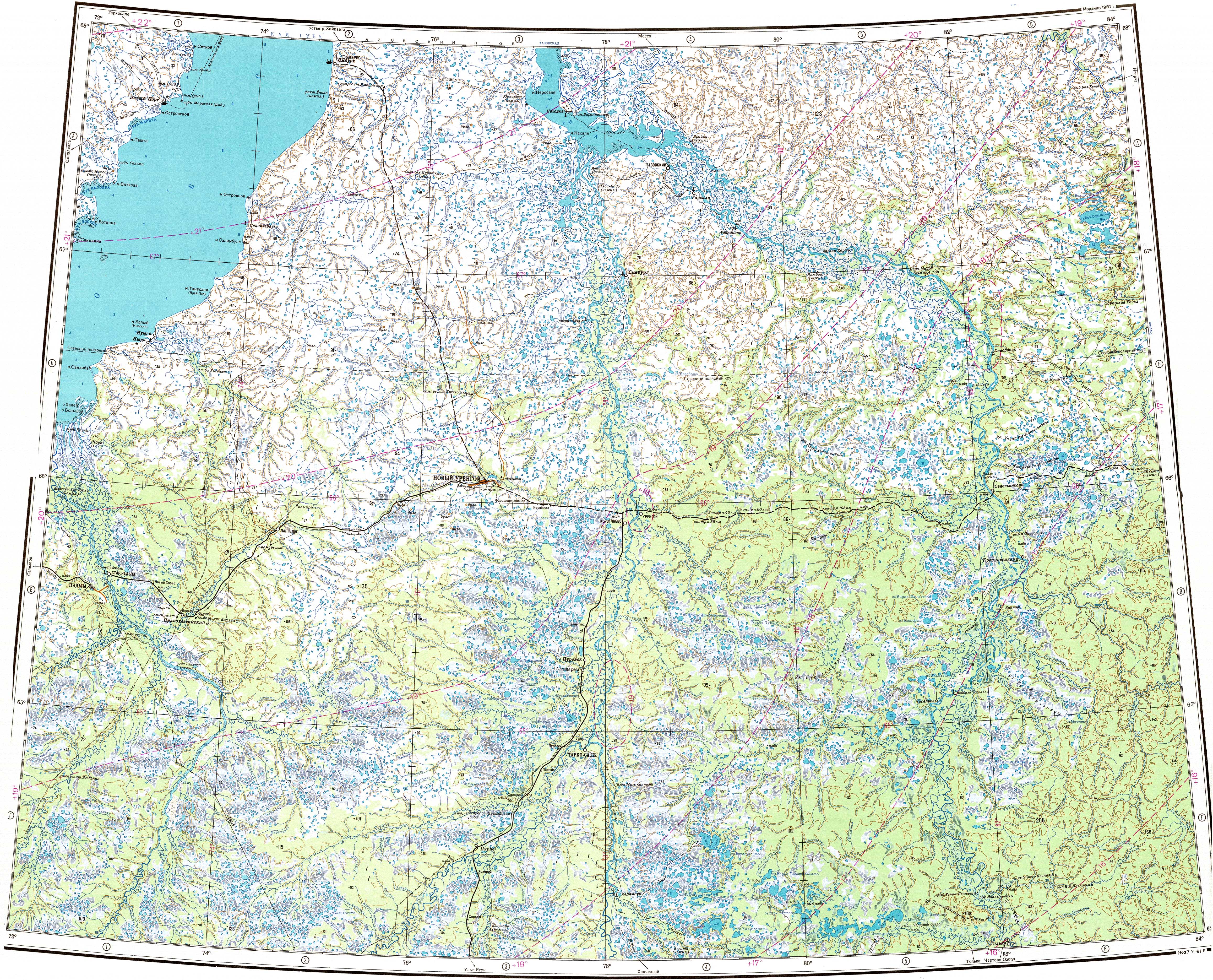
- Mappe: Q-43,44 (JPG), su maps.vlasenko.net. URL consultato il 4 luglio 2020. (Edizione 1987); P-43_I,II, su mapp43.narod.ru. URL consultato il 4 luglio 2020. (Edizione 1979)
- (RU) Надым, su water-rf.ru. URL consultato il 4 luglio 2020.
На других языках
[de] Nadym (Fluss)
Der Nadym (russisch Надым) ist ein 545 Kilometer langer Zufluss der Karasee in Westsibirien (Russland, Asien).[en] Nadym (river)
The Nadym (Russian: Нады́м) is a river in Yamalo-Nenets Autonomous Okrug, Russia. The length of the Nadym is 545 kilometers (339 mi). The area of its basin is 64,000 square kilometers (25,000 sq mi).[1] The river originates in Lake Numto and flows into the Kara Sea through the Gulf of Ob. Its mouth is very near to the mouth of the Ob. It freezes up in October and stays under the ice until late May. The Levaya Khetta is one of the biggest tributaries of the Nadym. The town of Nadym is located on the river Nadym. It is known for having a very rickety pontoon bridge[2] for summer use while winter roads go over the ice. A new fixed bridge for combined road and rail use[3] is to be finished by the end of 2015.[4][es] Río Nadym
El río Nadym (en ruso: Надым) es un río de 545 km de longitud que recorre la llanura de Siberia occidental y desemboca en el golfo del Obi (al este de la desembocadura del Obi, en el océano Ártico).- [it] Nadym (fiume)
[ru] Надым (река)
Нады́м — река в России, протекает по Надымскому району ЯНАО, небольшой участок у истока в Белоярском районе ХМАО. Впадает в Обскую губу Карского моря. Длина реки — 545[2] км, площадь водосборного бассейна — 64 000[2] км². Средний многолетний годовой расход воды — 590 м³/с. На реке расположен одноимённый город.Другой контент может иметь иную лицензию. Перед использованием материалов сайта WikiSort.org внимательно изучите правила лицензирования конкретных элементов наполнения сайта.
WikiSort.org - проект по пересортировке и дополнению контента Википедии