geo.wikisort.org - River
La Quebradona (Spanish pronunciation: [la keβɾaˈðona]) is a river located in Ocotepeque Department, Honduras.[1]
This article needs additional citations for verification. (February 2017) |
The Rio La Quebradona rises in the department of Ocotepeque, near the village of Las Minito.[2] It flows northwest from the Cordillera del Merendón, north from Mount El Naripio, and the eastern flanks of Cerro La Minas.[2] It flows into the El Playón river,[2] a tributary of the Jupilingo.[3]
Notes and references
- United States Board on Geographic Names, US Department of Interior (1983). Gazetteer of Honduras: Names Approved by the United States Board on Geographic Names (second ed.). Washington, D.C.: Defense Mapping Agency (US). p. 254. OCLC 9907822.
- Instituto Geográfico Nacional (1992). San Fernando (Sheet 2360 II) (PDF) (Map) (second ed.). 1:50,000. E752. Defense Mapping Agency (US).
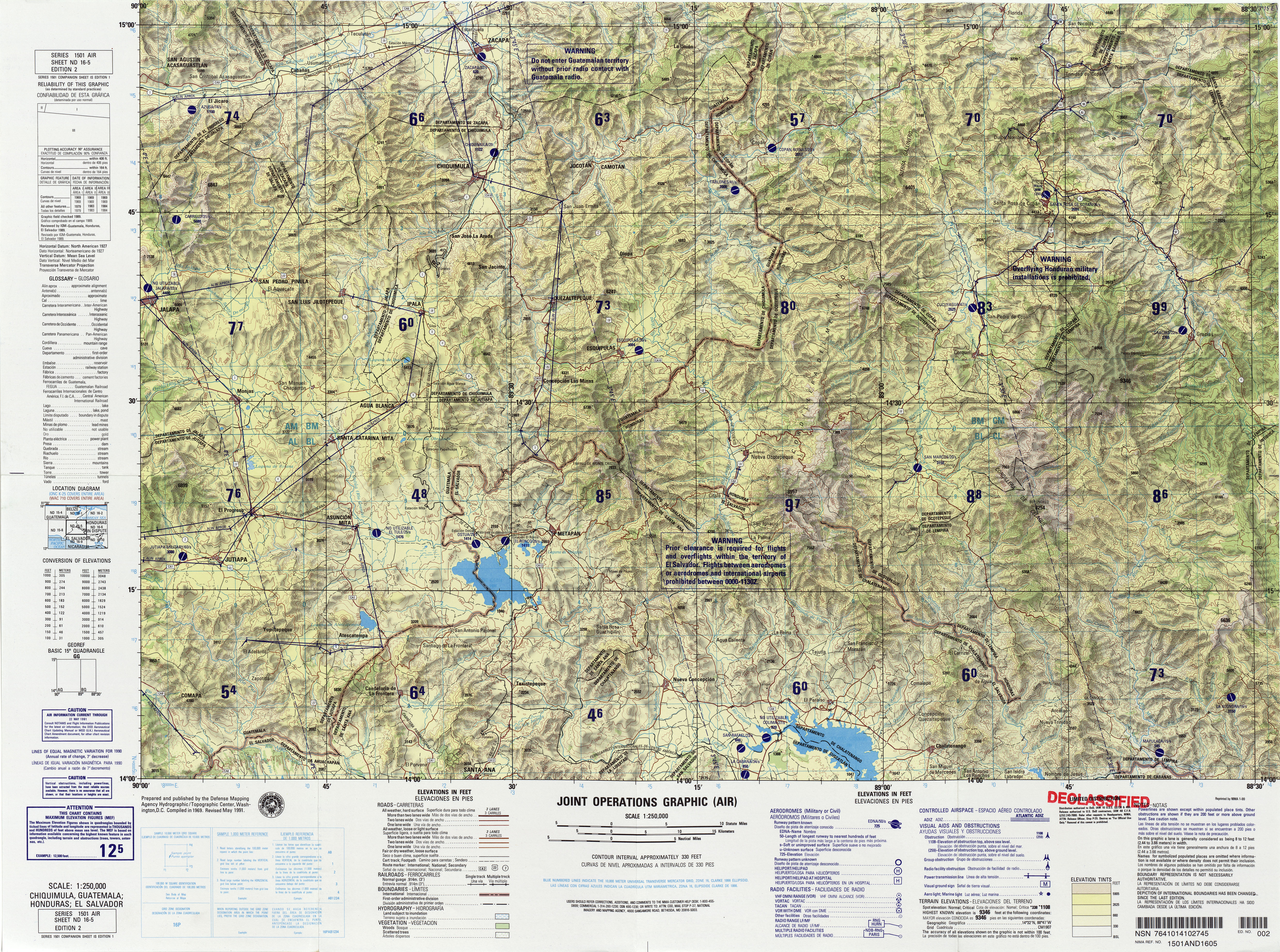
- Defense Mapping Agency Hydrographic/Topographic Center (1991). Chiquimula, Guatemala; Honduras; El Salvador (Sheet ND 16-5) (Map) (second ed.). 1:250,000. 1501 Air.
Текст в блоке "Читать" взят с сайта "Википедия" и доступен по лицензии Creative Commons Attribution-ShareAlike; в отдельных случаях могут действовать дополнительные условия.
Другой контент может иметь иную лицензию. Перед использованием материалов сайта WikiSort.org внимательно изучите правила лицензирования конкретных элементов наполнения сайта.
Другой контент может иметь иную лицензию. Перед использованием материалов сайта WikiSort.org внимательно изучите правила лицензирования конкретных элементов наполнения сайта.
2019-2025
WikiSort.org - проект по пересортировке и дополнению контента Википедии
WikiSort.org - проект по пересортировке и дополнению контента Википедии