geo.wikisort.org - River
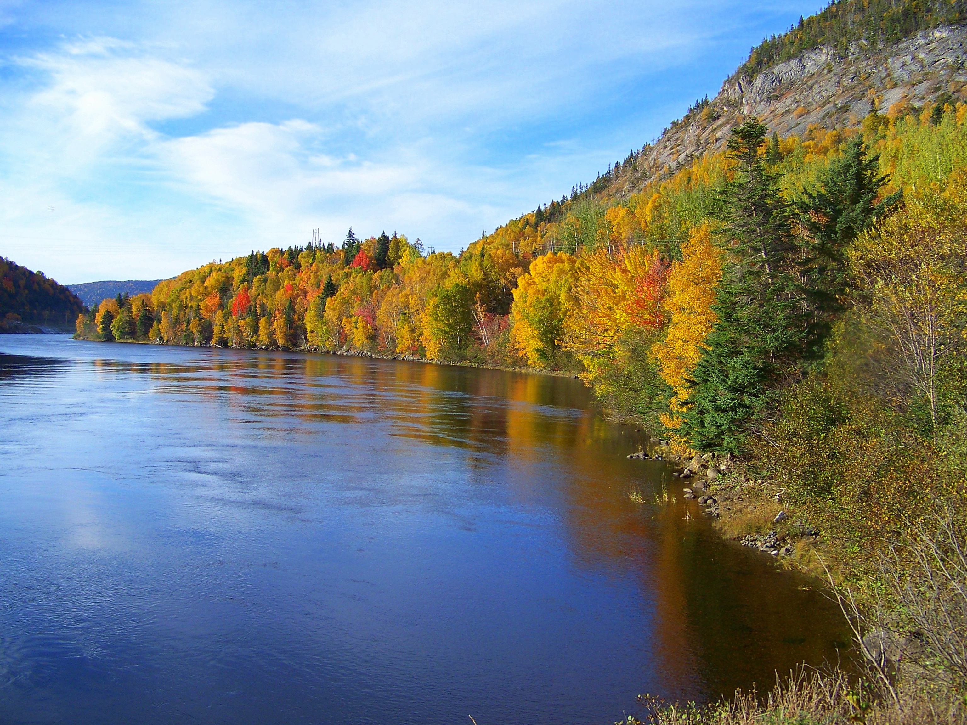
The Humber River is a river on Newfoundland in the Canadian province of Newfoundland and Labrador. It is approximately 120 kilometres long; it flows through the Long Range Mountains, southeast then southwest, through Deer Lake, to the Bay of Islands at Corner Brook. It begins near the town of Hampden. Taylor's Brook, Aidies Stream and Dead Water Brook run into the upper Humber. The Humber is one of Newfoundland's longest rivers.

James Cook first charted the Humber in the summer of 1767.[1] It was named for its English counterpart the Humber (estuary).[2]
The Humber is rich in Atlantic Salmon, and was from the 1800s used as a waterway for European trappers and loggers.[3] It is one of the world's best recreational salmon fishing rivers.[4]
See also
References
- Fast Facts & History "Archived copy". Archived from the original on 2014-10-17. Retrieved 2014-10-12.
{{cite web}}: CS1 maint: archived copy as title (link), accessed 6 May 2016 - Humber River , accessed 6 May 2016
- Humber River., accessed 6 May 2016
- Humber Valley , accessed 6 May 2016
На других языках
[de] Humber River (Neufundland)
Der Humber River ist ein Fluss auf der Insel Neufundland in der kanadischen Provinz Neufundland und Labrador.- [en] Humber River (Newfoundland and Labrador)
[ru] Хамбер (река, Ньюфаундленд)
Хамбер (англ. Humber River) — река в канадской провинции Ньюфаундленд и Лабрадор, одна из основных рек в западной части острова Ньюфаундленд. Общая длина реки составляет 153 км[1] (по другим данным — 160 км[2] или 121 км[3]). Река названа по имени эстуария Хамбер, находящегося в Англии[1].Текст в блоке "Читать" взят с сайта "Википедия" и доступен по лицензии Creative Commons Attribution-ShareAlike; в отдельных случаях могут действовать дополнительные условия.
Другой контент может иметь иную лицензию. Перед использованием материалов сайта WikiSort.org внимательно изучите правила лицензирования конкретных элементов наполнения сайта.
Другой контент может иметь иную лицензию. Перед использованием материалов сайта WikiSort.org внимательно изучите правила лицензирования конкретных элементов наполнения сайта.
2019-2025
WikiSort.org - проект по пересортировке и дополнению контента Википедии
WikiSort.org - проект по пересортировке и дополнению контента Википедии