geo.wikisort.org - Montagne
Le mont Gurage (ou Guraghe, également appelé Asta Dega Terara) est une montagne d'Éthiopie, située dans la région des nations, nationalités et peuples du Sud.
Pour les articles homonymes, voir Gurage.
| Mont Gurage | ||
 |
||
| Géographie | ||
|---|---|---|
| Altitude | 3 700 m | |
| Massif | Plateaux d'Éthiopie | |
| Coordonnées | 8° 16′ 19″ nord, 38° 21′ 43″ est | |
| Administration | ||
| Pays | ||
| Région | Nations, nationalités et peuples du Sud | |
| Zone | Gurage | |
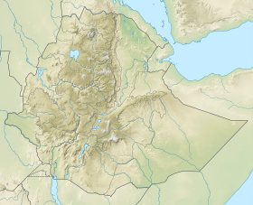
| Géolocalisation sur la carte : Éthiopie
| ||
| modifier |
||
Cette montagne se trouve dans la vallée du Grand Rift et s'élève à près de 1 000 m au-dessus de la vallée. Sur son flanc occidental s'écoule la rivière Bilate.
Voir aussi
- Géographie de l'Éthiopie
- Portail de l’Éthiopie
- Portail de la montagne
На других языках
[en] Mount Gurage
Mount Gurage is a mountain located in central Ethiopia. It is the highest point in both the Gurage Zone and the entire Southern Nations, Nationalities, and Peoples' Region. The mountain has a latitude and longitude of .mw-parser-output .geo-default,.mw-parser-output .geo-dms,.mw-parser-output .geo-dec{display:inline}.mw-parser-output .geo-nondefault,.mw-parser-output .geo-multi-punct{display:none}.mw-parser-output .longitude,.mw-parser-output .latitude{white-space:nowrap}8°17′N 38°23′E and an elevation of 3719 meters above sea level.[1] To the north is the village of Anige, while to the east is Bu'i.[2]- [fr] Mont Gurage
Текст в блоке "Читать" взят с сайта "Википедия" и доступен по лицензии Creative Commons Attribution-ShareAlike; в отдельных случаях могут действовать дополнительные условия.
Другой контент может иметь иную лицензию. Перед использованием материалов сайта WikiSort.org внимательно изучите правила лицензирования конкретных элементов наполнения сайта.
Другой контент может иметь иную лицензию. Перед использованием материалов сайта WikiSort.org внимательно изучите правила лицензирования конкретных элементов наполнения сайта.
2019-2025
WikiSort.org - проект по пересортировке и дополнению контента Википедии
WikiSort.org - проект по пересортировке и дополнению контента Википедии
