geo.wikisort.org - Île
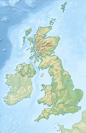
Lunga est une île du Royaume-Uni située en Écosse.
- Portail de l’Écosse
- Portail du monde insulaire
Pour les articles homonymes, voir Lunga.
Ne doit pas être confondu avec Lunga (îles Treshnish).
| Lunga | |
 Vue sur Lunga à partir de l'île de Scarba | |
| Géographie | |
|---|---|
| Pays | |
| Archipel | Hébrides intérieures |
| Localisation | Firth of Lorn (océan Atlantique) |
| Coordonnées | 56° 13′ 00″ N, 5° 42′ 00″ O |
| Géologie | Île continentale |
| Administration | |
| Nation constitutive | Écosse |
| Council Area | Argyll and Bute |
| Autres informations | |
| Découverte | Préhistoire |
| Fuseau horaire | UTC+0 |
| Îles au Royaume-Uni | |
| modifier |
|
На других языках
[en] Lunga, Firth of Lorn
Lunga is one of the Slate Islands in the Firth of Lorn in Argyll and Bute, Scotland. The "Grey Dog" tidal race, which runs in the sea channel to the south, reaches 8 knots (15 km/h) in full flood. The name "Lunga" is derived from the Old Norse for "isle of the longships', but almost all other place names are Gaelic in origin. The population was never substantial and today the main activity is an adventure centre on the northern headland of Rubha Fiola. The surrounding seas are fished for prawns and scallops and there is a salmon farm off the south eastern shores. The Special Area of Conservation of which the island is part hosts a growing number of outdoor leisure pursuits.[5]- [fr] Lunga (îles Slate)
Текст в блоке "Читать" взят с сайта "Википедия" и доступен по лицензии Creative Commons Attribution-ShareAlike; в отдельных случаях могут действовать дополнительные условия.
Другой контент может иметь иную лицензию. Перед использованием материалов сайта WikiSort.org внимательно изучите правила лицензирования конкретных элементов наполнения сайта.
Другой контент может иметь иную лицензию. Перед использованием материалов сайта WikiSort.org внимательно изучите правила лицензирования конкретных элементов наполнения сайта.
2019-2025
WikiSort.org - проект по пересортировке и дополнению контента Википедии
WikiSort.org - проект по пересортировке и дополнению контента Википедии

